How FEMA Flood Zone Maps Affect Florida Site Design
In Florida, where water is both a resource and a challenge, flood zone maps play a critical role in how sites are designed and permitted. Issued by the Federal Emergency Management Agency (FEMA), these maps determine flood risks, insurance requirements, and construction standards across the state.
For developers and engineers, knowing how to interpret FEMA’s Flood Insurance Rate Maps (FIRMs) is essential to designing resilient, compliant, and cost-effective projects.

Why Flood Zone Maps Matter
Flood zones define a property’s vulnerability to flooding during heavy rain, hurricanes, or storm surges. They directly impact how a project is designed — from site grading and building elevation to stormwater detention and drainage layout.
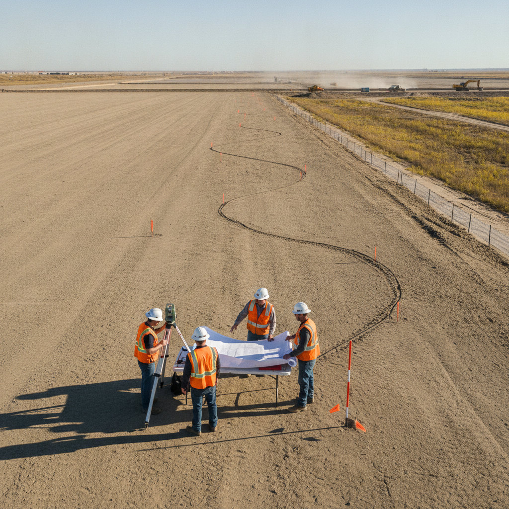
A misinterpretation of flood zone data can delay permitting or cause major redesigns later in the process. That’s why civil engineering companies and land development consultants rely on up-to-date FEMA data before beginning design work.
For projects involving environmental or floodplain coordination, see: Building in Environmentally Sensitive Areas in Florida.
Key FEMA Flood Zone Classifications
| Flood Zone | Description |
|---|---|
| Zone X (Unshaded) | Minimal flood hazard; outside the 500-year floodplain. Standard construction practices apply. |
| Zone X (Shaded) | Moderate flood risk; between 100-year and 500-year flood limits. Elevation considerations recommended. |
| Zone AE | High-risk areas subject to inundation during 100-year floods. Requires specific base flood elevations (BFEs) for design. |
| Zone VE | Coastal high hazard zones with potential wave action; strict elevation and structural requirements apply. |
| Zone A / AH / AO | Areas with flood depths less than three feet or uncertain BFEs; require local engineering analysis. |
Working With FEMA and Local Agencies
Developers can access the official FEMA Flood Map Service Center (msc.fema.gov) to view or download current flood maps. For Miami-Dade and surrounding counties, local GIS portals such as the Miami-Dade County Flood Zone Viewer
provide detailed overlays that combine FEMA data with county stormwater systems.
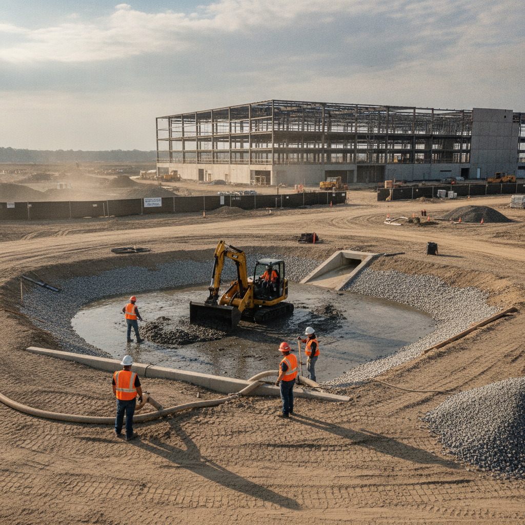
A planning engineer or drainage engineer integrates this data during the early site evaluation phase to:
Establish correct finished floor elevations (FFEs).
Ensure stormwater systems meet retention and conveyance standards.
Prepare documentation for FEMA Letter of Map Amendments (LOMAs) if needed.
To see how these reviews interact with stormwater planning, check out: How Local Drainage Districts Affect Site Development.
Common Challenges
Flood zone mapping and interpretation can be complex. Developers often face issues such as:
Outdated maps: Flood boundaries can shift with new FEMA updates or post-hurricane remapping.
Conflicts with elevation surveys: Site topography may differ from modeled flood data.
Design conflicts: Drainage, utilities, and grading must align with both FEMA and county stormwater criteria.
Partnering with an engineering consulting team helps anticipate these issues early, minimizing redesigns and costly re-permitting.
For related permitting details, read: Environmental Resource Permits (ERP) in Florida: A Developer’s Guide.
Conclusion
FEMA flood zone data is a cornerstone of responsible land development in Florida. Understanding how it shapes site grading, drainage, and structural elevation is key to building safely — and securing faster permit approvals.
Developers who integrate flood risk analysis early in the design process reduce liability, improve resilience, and ensure long-term project success.
FAQs
-
-
FEMA revises maps periodically to reflect new data, construction, and watershed studies — typically every 5 to 10 years.
-
Yes, but structures must meet elevation and floodproofing requirements, and additional permits may be required.
-
Properties in AE or VE zones generally require flood insurance under federal regulations.
Partnering With Florida Experts for Resilient Site Design
At RSP Engineers, we combine flood zone analysis with stormwater design, grading, and permitting expertise to deliver resilient, code-compliant site plans across Florida. From FEMA compliance to local drainage design, our team ensures every project stands on solid ground — even in high-risk zones.