How Land Use Affects Your Civil Site Plan in Florida
Every development project in Florida — from a small commercial building to a large residential subdivision — begins with land use.
Land use classifications determine what can be built on a property, how dense the development can be, and what infrastructure standards must be met.
For engineers, understanding land use is not just a planning exercise — it’s a foundation for designing stormwater, utilities, and transportation systems that comply with county and municipal codes.

What Is Land Use?
Land use refers to how a parcel of land is designated for development under a local government’s Comprehensive Plan.
Each city and county in Florida divides its jurisdiction into categories such as residential, commercial, industrial, institutional, or agricultural.
These designations are visualized through the Future Land Use Map (FLUM), which guides zoning decisions and site development standards.
For a complete overview, see:
What Is the Florida Land Use Map and How to Read It.
How Land Use Impacts Civil Site Plan Design
| Land Use Type | Engineering Implications | Typical Requirements |
|---|---|---|
| Residential | Drainage and grading focused on lot-level stormwater management. | Swales, per-lot retention, driveways, and utility laterals. |
| Commercial | Large impervious areas require centralized drainage and water quality treatment. | Stormwater ponds, exfiltration trenches, and traffic circulation design. |
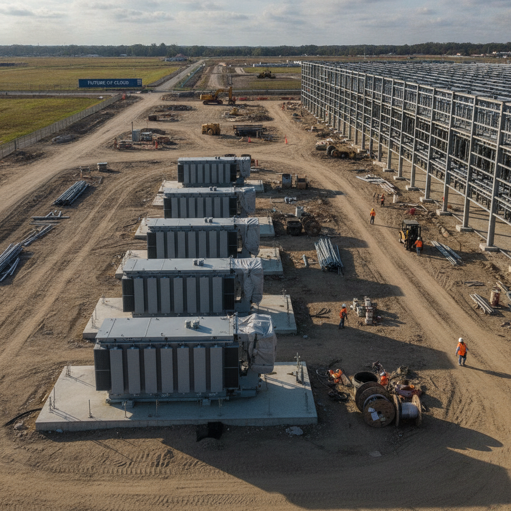
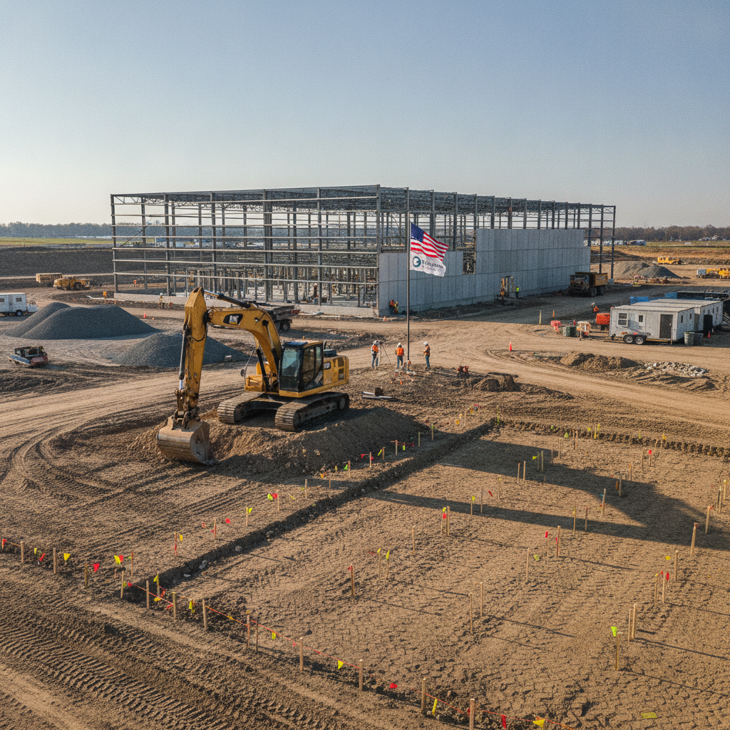
| Industrial | Requires heavy-duty pavements, larger utility systems, and pollutant control. | Oil-water separators, thicker pavement sections, and higher fire flow capacity. |
| Institutional | Includes schools, hospitals, and civic facilities with strict accessibility and parking codes. | ADA compliance, high parking ratios, and emergency access roads. |
| Agricultural or Conservation | Limited disturbance and enhanced runoff protection measures. | Minimal impervious coverage and vegetative buffers for runoff control. |
The Link Between Land Use and Zoning
While land use defines the intended function of a property, zoning dictates the specific development standards — including setbacks, height limits, floor area ratio (FAR), and parking requirements.
For example:
A parcel with Commercial Land Use may be zoned BU-1 (Neighborhood Business) or BU-2 (Business District) in Miami-Dade County.
A Residential Land Use designation might allow single-family homes under RU-1 zoning but prohibit multifamily developments.
If zoning and land use are inconsistent, developers must request a Future Land Use Map amendment or rezoning before proceeding.
To understand how these amendments are reviewed, see:
Working with a Planning & Zoning Board in Florida.
How Engineers Use Land Use Data in Site Planning
Civil engineers rely on land use data to determine:
Drainage criteria – Design storm and retention requirements.
Utility demand – Water, wastewater, and fire flow sizing.
Traffic impacts – Trip generation and access design.
Environmental constraints – Wetlands, floodplains, and buffer zones.
Before designing, engineers often cross-reference:
FLUM designations,
FEMA Flood Maps, and
SFWMD or county drainage basin maps.
This ensures all infrastructure design complies with jurisdictional standards.
For drainage coordination examples, see:
Drainage Review Requirements in Coastal Municipalities.
Common Challenges in Land Use Compliance
Zoning–Land Use Conflicts: When zoning districts do not align with FLUM designations.
Density Limitations: Exceeding maximum units per acre in residential projects.
Drainage Mismatch: Designing systems that don’t meet basin-specific retention rules.
Public Opposition: Land use changes affecting traffic or community character.
Environmental Constraints: Wetlands or flood zones limiting development footprint.
A proactive engineering analysis at the due diligence stage can help address these challenges early.
Conclusion
Land use is the foundation of every civil site plan in Florida. Understanding how it influences stormwater, utilities, and access design is essential for creating compliant, buildable projects.
At RSP Engineers, we work closely with planners, surveyors, and local agencies to align site designs with land use policies — ensuring smooth approvals and code-compliant infrastructure from concept through construction.
FAQs
-
Yes — every site plan must demonstrate consistency with the local Comprehensive Plan and FLUM.
-
You’ll need to request a rezoning or land use amendment through the local Planning & Zoning Board.
-
It determines allowable impervious area and required stormwater treatment volume.
-
Through your city or county GIS portal, such as the Miami-Dade Interactive Map Viewer.
Partnering With Florida Developers for Land Use and Site Design
At RSP Engineers, we combine planning insight and engineering precision to design land use–compliant projects across Florida — helping clients navigate zoning codes, drainage criteria, and infrastructure requirements efficiently.