LOMR and LOMA Applications in Florida Development
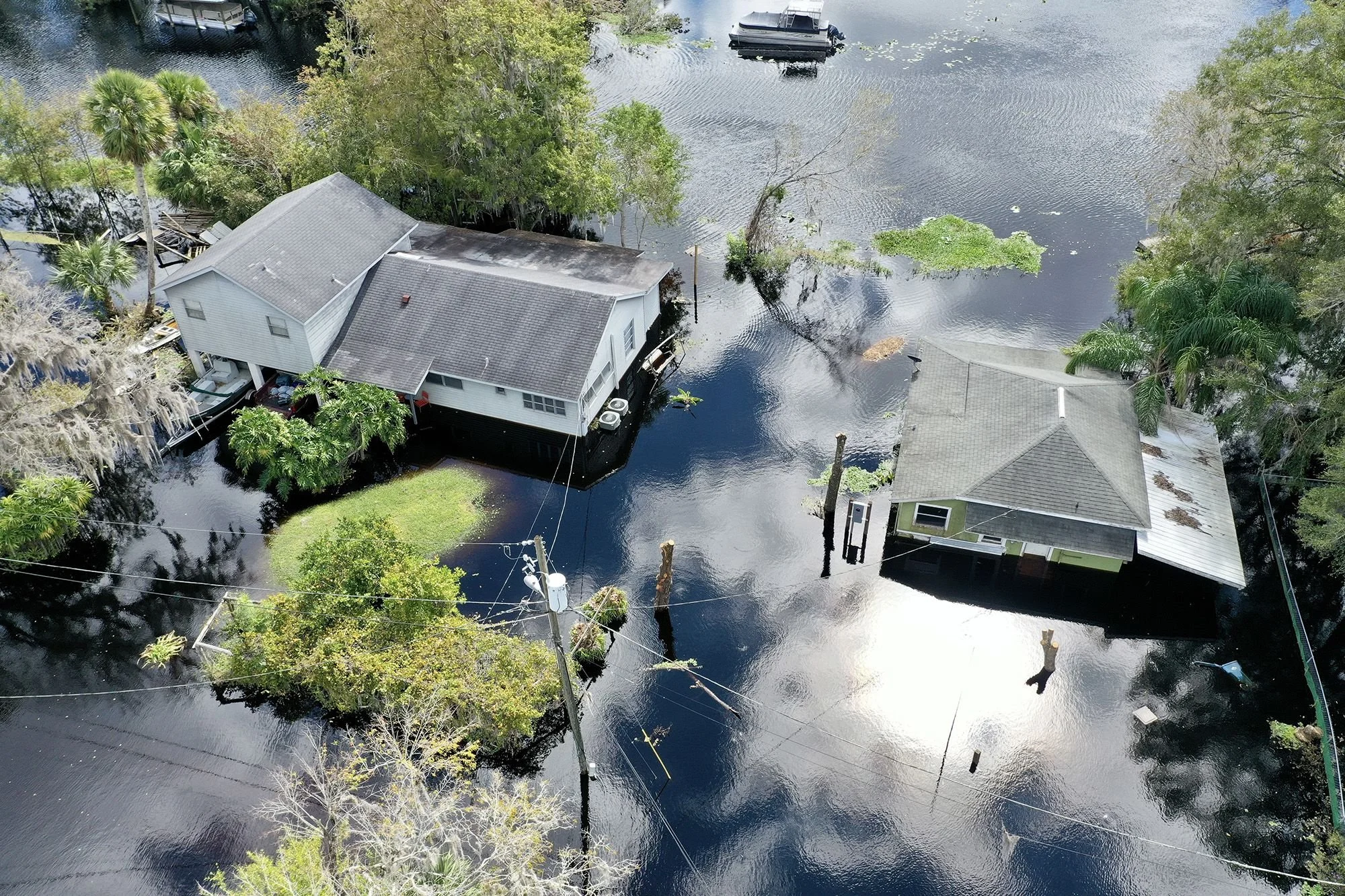
For developers working in flood-prone areas, FEMA floodplain designations can significantly impact project feasibility and permitting.
When a property is incorrectly classified within a flood zone — or after site grading alters elevation conditions — a Letter of Map Amendment (LOMA) or Letter of Map Revision (LOMR) can be submitted to FEMA to officially update the flood map.
These applications can determine whether a project requires flood insurance, elevated construction, or specific stormwater mitigation measures.
Understanding FEMA Map Revisions
FEMA Flood Insurance Rate Maps (FIRMs) are used by local governments to regulate floodplain development and by lenders to determine flood insurance requirements.
However, these maps are based on large-scale modeling and may not reflect actual topography or recent land modifications.
That’s where LOMR and LOMA come into play.
LOMA vs. LOMR: What’s the Difference?
| Application Type | Description | When to Use |
|---|---|---|
| LOMA (Letter of Map Amendment) | Used to remove a property or structure from a flood zone based on natural ground elevation data. | When FEMA map incorrectly shows a property within the floodplain but survey data proves otherwise. |
| LOMR (Letter of Map Revision) | Used to modify flood zone boundaries or Base Flood Elevations (BFEs) after physical changes to topography, grading, or drainage. | When development alters the floodplain through fill, retention, or drainage improvements. |
| LOMR-F (Letter of Map Revision Based on Fill) | Removes property from flood zone due to the addition of fill material. | When site grading elevates land above BFE using certified fill. |
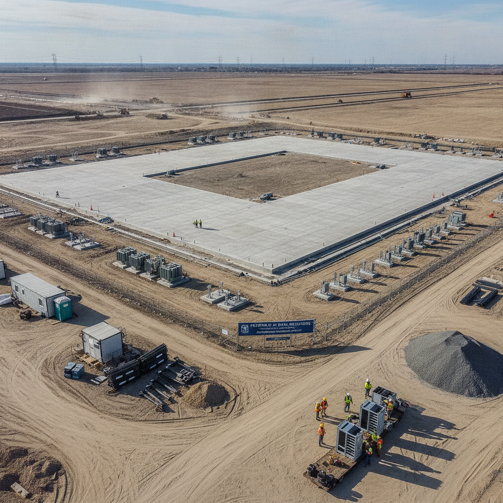
When Are LOMA and LOMR Applications Needed?
These applications are often required for:
Residential subdivisions built near floodplain boundaries.
Commercial developments with raised pads or retention areas.
Redevelopment projects modifying existing grades or drainage.
Infrastructure projects like roadways and utility corridors.
Before submitting, engineers verify the site’s elevation data through FEMA’s Map Service Center and Elevation Certificates prepared by licensed surveyors.
For background on FEMA design standards, see:
FEMA BFE Requirements in Florida Site Plans.
Typical Application Process
Survey and Elevation Data Collection
Obtain a certified topographic survey with ground elevations tied to NAVD88.
Confirm the current FEMA Flood Zone designation.
Hydraulic and Hydrologic Analysis (for LOMR)
Model pre- and post-development flood elevations using HEC-RAS or ICPR.
Demonstrate no adverse offsite impact.
Prepare Application Package
FEMA MT-1 forms for LOMA / MT-2 for LOMR.
Include supporting data, maps, and sealed calculations.
Submit to FEMA
Applications may be submitted through the FEMA Map Service Center or via local floodplain manager.
FEMA Review and Determination
Review period ranges from 60–90 days depending on complexity.
Approved map revisions are issued as letters or digital updates.
Key Technical Requirements
All elevations must reference NAVD88 datum.
Floodplain modeling must use FEMA-approved methods (HEC-RAS or equal).
Demonstrate “No-Rise” condition if modifying existing flood zones.
Provide as-built certifications if requesting LOMR-F.
Common Reasons for FEMA Rejection
Missing or uncertified elevation data.
Use of outdated FEMA panels or map numbers.
Lack of sealed engineer’s analysis.
Incomplete or mislabeled application forms.
Failure to demonstrate no impact to neighboring parcels.
Working with a civil engineer experienced in FEMA documentation ensures smoother review and faster approval.
Conclusion
LOMR and LOMA applications are critical tools for developers working in or near flood zones.
They allow accurate floodplain boundaries, reduce unnecessary insurance costs, and unlock development opportunities otherwise limited by outdated FEMA data.
At RSP Engineers, we prepare and submit LOMA and LOMR packages supported by certified surveys, floodplain modeling, and agency coordination to help clients move confidently through the FEMA review process.
FAQs
-
Only if the natural ground elevation is above the Base Flood Elevation (BFE).
-
LOMR applies to natural changes; LOMR-F is based on fill.
-
LOMA reviews are free; LOMR and LOMR-F reviews may have processing fees.
-
Only at your own risk. Official map changes must be approved for final compliance.
Partnering With Florida Developers for Floodplain Map Revisions
At RSP Engineers, we help clients secure LOMA and LOMR approvals efficiently — ensuring floodplain boundaries reflect real conditions and meet FEMA’s technical standards.