How to Use Florida’s GIS Tools for Site Planning
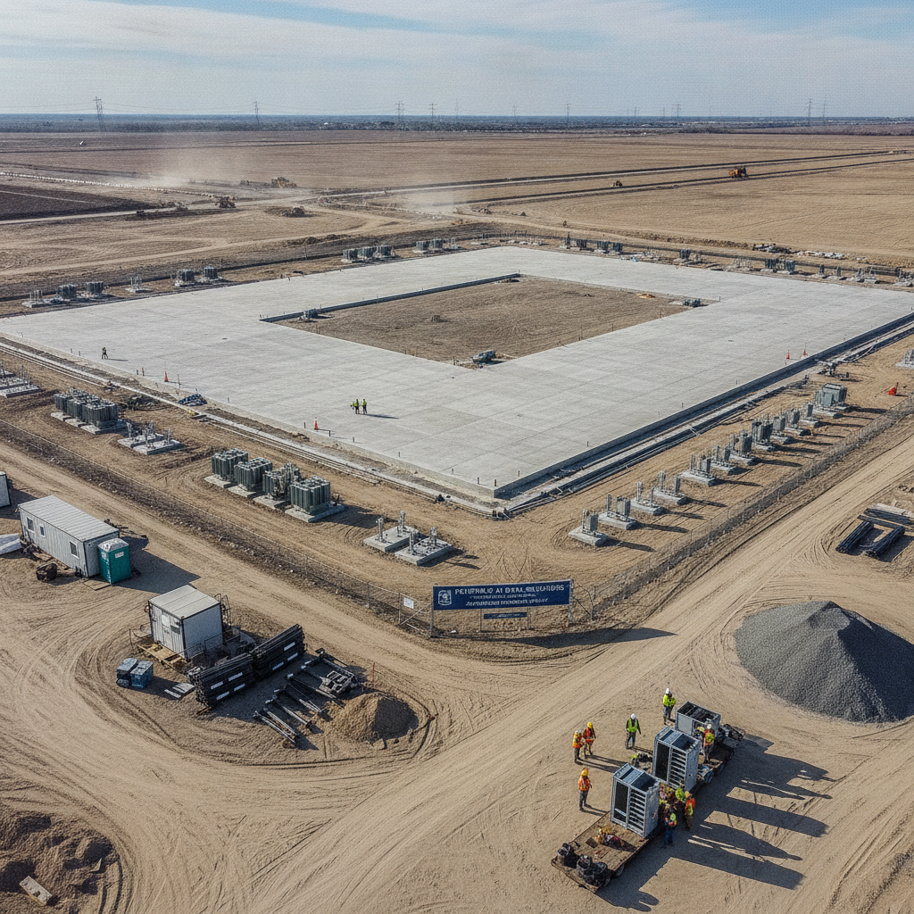
Florida’s development landscape is shaped by diverse geology, flood risks, and strict environmental regulations. Before investing in a parcel, developers must evaluate zoning restrictions, wetlands, and storm surge hazards. One of the most effective ways to do this early in the process is by using Florida’s Geographic Information System (GIS) tools.
In this guide, RSP Engineers explains how these tools support civil engineering decisions, streamline permitting, and reduce costly surprises.

What Are GIS Tools in Florida?
Geographic Information Systems (GIS) allow engineers, planners, and property owners to visualize spatial data relevant to site development. Florida counties and state agencies provide GIS mapping platforms with layers that include:
FEMA flood zones
Zoning and land use designations
Wetlands and conservation areas
Soils and geology
Utilities and infrastructure
These maps help determine whether a site is suitable for construction and what engineering solutions will be required.
Why GIS Matters in Site Planning
Without GIS, property evaluations would require multiple field visits and manual data gathering. With GIS, much of this information is available instantly, allowing civil engineers to anticipate site constraints.
Some of the benefits include:
Early identification of wetlands before delineation
Understanding zoning and permitted uses
Evaluating storm surge and floodplain risks
Coordinating with municipal and state permitting agencies
For more background, see our guide on Zoning and Land Use in Florida.
Common GIS Layers for Florida Development
Here are some of the most frequently used GIS layers in Florida site planning and how they impact design.
| GIS Layer | Relevance to Site Planning | Engineering Considerations |
|---|---|---|
| FEMA Flood Maps | Identifies 25-year and 100-year floodplains | Determines finished floor elevations and drainage design |
| Wetlands | Shows areas regulated under state and federal law | May trigger wetland delineation or mitigation |
| Zoning/FLU | Displays permitted uses and density restrictions | Affects project feasibility and rezoning needs |
| Soils & Geology | Reveals soil strength and drainage capacity | Impacts foundation design and stormwater infiltration |
| Storm Surge Zones | Maps storm surge impacts for coastal properties | Critical for resiliency and permitting compliance |
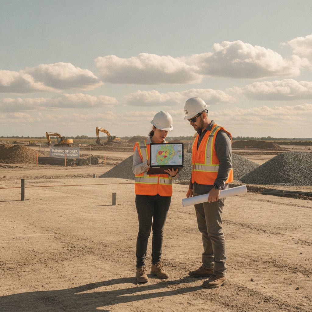
Using State and County GIS Platforms
Developers and engineers can access GIS resources through both state and local governments:
RSP Engineers frequently uses these tools in coordination with field investigations to prepare drainage, utility, and environmental reports.
Innovation in GIS for Civil Engineering
New GIS integrations with LiDAR elevation data and machine learning flood prediction models are enhancing how engineers design for resiliency. Cities like Miami are investing in GIS-driven digital twins to simulate stormwater flows and sea-level rise impacts, setting a trend for future site planning in Florida.
Conclusion
GIS is no longer optional in Florida site planning—it’s essential. By leveraging these mapping tools early, developers can make informed decisions, reduce permitting delays, and design projects resilient to environmental risks.
Working with civil engineers who understand how to combine GIS data with field studies ensures a complete, reliable foundation for development.
FAQs
-
-
No. GIS is a planning tool, but surveys and wetland delineations are still required for permitting. Learn more in our post on Wetland Delineation.
-
GIS integrates FEMA maps, which guide elevation requirements and stormwater design. See our guide on 25-Year Storm Requirements in Miami.
-
Yes. GIS data supports rezoning requests by showing land use designations and compatibility. See our article on Zoning Changes in Florida Municipalities.
-
Most Florida counties now provide online GIS platforms, but data accuracy and update frequency vary.
Work With Engineers Who Use GIS the Right Way
At RSP Engineers, we integrate GIS data with field surveys, soil testing, and hydrologic modeling to provide clients with a full picture of site potential. From rezoning to stormwater permits, our team ensures projects stay compliant, resilient, and cost-effective.