Wetland Delineation: What Property Owners Need to Know
Florida property development requires environmental awareness.
If your property includes—or is near—wetlands, your project could be subject to environmental regulations from the Florida Department of Environmental Protection (FDEP), U.S. Army Corps of Engineers (USACE), and local agencies.
In this post, RSP Engineers explains the process of wetland delineation, how it affects site planning and permitting, and what steps you should take before breaking ground.

What Is Wetland Delineation?
Wetland delineation is the scientific process of determining the precise boundaries of wetlands on a property. It is performed by qualified environmental professionals who evaluate:
Vegetation types
Soil characteristics
Hydrology indicators
The purpose is to determine whether a given area meets the federal and state criteria for wetlands.
Why Wetland Delineation Matters for Development
If wetlands are present, any alteration—filling, grading, or clearing—may require permits under:
County and municipal environmental regulations
Failure to identify and respect wetland boundaries can result in costly delays, fines, or mandated restoration.
The Delineation Process in Florida
Here’s how wetland delineation typically unfolds:
| Step | Description |
|---|---|
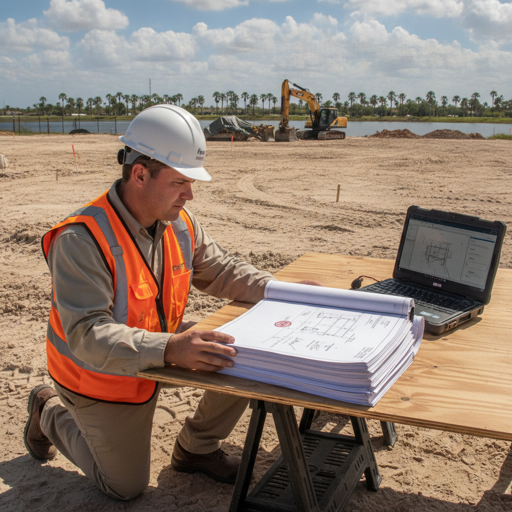
| Desktop Review | Study of maps, aerials, and soil data to identify likely wetland zones |
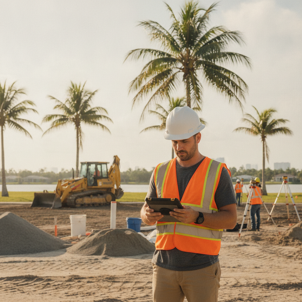
| On-Site Fieldwork | Soil borings, vegetation sampling, and hydrology observation by a trained environmental scientist |
| Flagging & Mapping | Wetland edges are physically flagged and mapped with GPS for permitting |
| Agency Coordination | Boundary confirmation by FDEP and/or USACE if permits are required |
How Long Does Wetland Delineation Take?
The timeline depends on:
Site complexity and vegetation cover
Size of parcel
Season (wet vs. dry conditions)
On average, field delineation and mapping can take 2–4 weeks, with another 30–90 days for agency concurrence if permitting is needed.
Do All Properties Require Wetland Review?
Not always—but it’s common across Florida, especially in:
Low-lying or coastal regions
Former agricultural lands
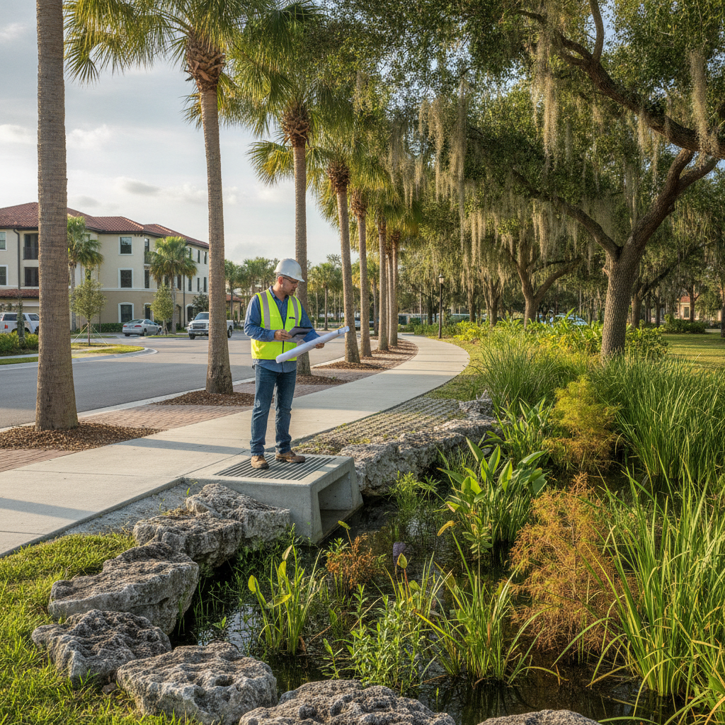
Properties near rivers, lakes, or conservation zones
A preliminary wetland assessment during due diligence is often enough to flag the need for a full delineation.
Why Partner with a Civil + Environmental Team?
At RSP Engineers, we integrate wetland delineation with site engineering to:
Flag constraints early in planning
Expedite regulatory coordination
Reduce permitting delays
We help clients evaluate the development potential of their land from both environmental and civil engineering standpoints.
Conclusion
Wetland delineation is a crucial first step for responsible land development in Florida. Whether you’re planning a residential subdivision or commercial site, understanding environmental constraints upfront helps streamline permitting and avoid surprises.
FAQs
-
You may see signs like water-tolerant vegetation or soggy soils, but the only way to know for sure is with a professional wetland assessment. Visit the FDEP wetland guidance page for official information.
-
You could face fines, stop-work orders, and be required to restore the area. Avoid this risk by consulting a licensed environmental professional early.
-
Yes. Delineation approvals from agencies like FDEP or USACE typically expire after 5 years, so make sure yours is up to date.
-
Sometimes. With agency approval, you may mitigate impacts through restoration, enhancement, or credits purchased from a mitigation bank. Each case is different and must be evaluated individually.
Looking for Civil + Environmental Due Diligence Support?
RSP Engineers delivers civil engineering and environmental services across Florida. Contact us for comprehensive land development support—from soil reports to stormwater permitting.