Navigating Florida’s Future Land Use Map (FLUM)
Before any site design begins, engineers and planners turn to one critical document — the Future Land Use Map (FLUM).
In Florida, every municipality and county maintains a FLUM as part of its Comprehensive Plan, outlining how each parcel is expected to develop over time. Understanding this map helps developers anticipate zoning compatibility, infrastructure needs, and the long-term potential of a property.
For civil engineers, the FLUM is more than a planning tool — it’s a roadmap for how projects align with Florida’s growth strategy.

What Is the FLUM?
The Future Land Use Map establishes the intended uses and densities of land within a jurisdiction. It identifies whether a property is designated for residential, commercial, industrial, institutional, conservation, or recreational purposes.
Unlike a zoning map (which defines what’s currently allowed), the FLUM looks ahead 10 to 20 years, reflecting each city or county’s vision for growth and development.
In short:
Zoning Map = Current Regulations
FLUM = Long-Term Intent
To understand the difference between these tools, see:
What Is the Florida Land Use Map and How to Read It.
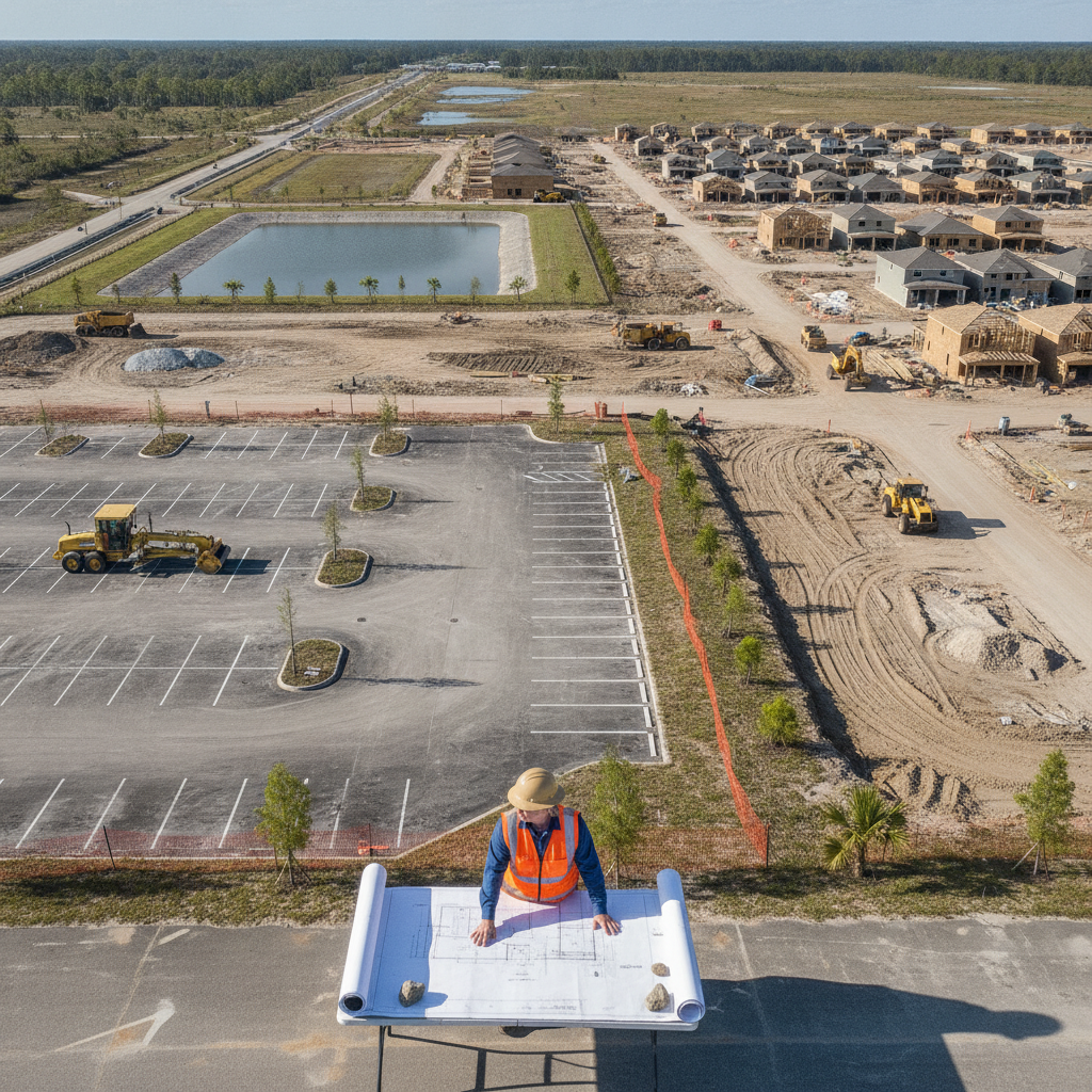
Why the FLUM Matters for Developers
The FLUM determines whether a proposed project fits within a community’s long-term plan. It’s the foundation for:
Rezoning requests and comprehensive plan amendments
Infrastructure planning (roads, water, wastewater, and stormwater)
Density and intensity calculations for site layouts
Environmental protection and floodplain management
If your development doesn’t match the FLUM designation, the project may require a Comprehensive Plan Amendment — a process that involves public hearings and agency reviews, which can extend project timelines significantly.
Key FLUM Designations
| FLUM Category | Description |
|---|---|
| Residential | Ranges from low-density single-family to high-density multifamily; determines dwelling units per acre. |
| Commercial | Designated for retail, office, and mixed-use developments. |
| Industrial | Allows for manufacturing, logistics, and heavy equipment facilities. |
| Institutional | Includes schools, hospitals, and government buildings. |
| Recreational / Open Space | Preserves parks, greenbelts, and environmentally sensitive areas. |
| Conservation | Protects wetlands, floodplains, and natural resources with limited or no development. |
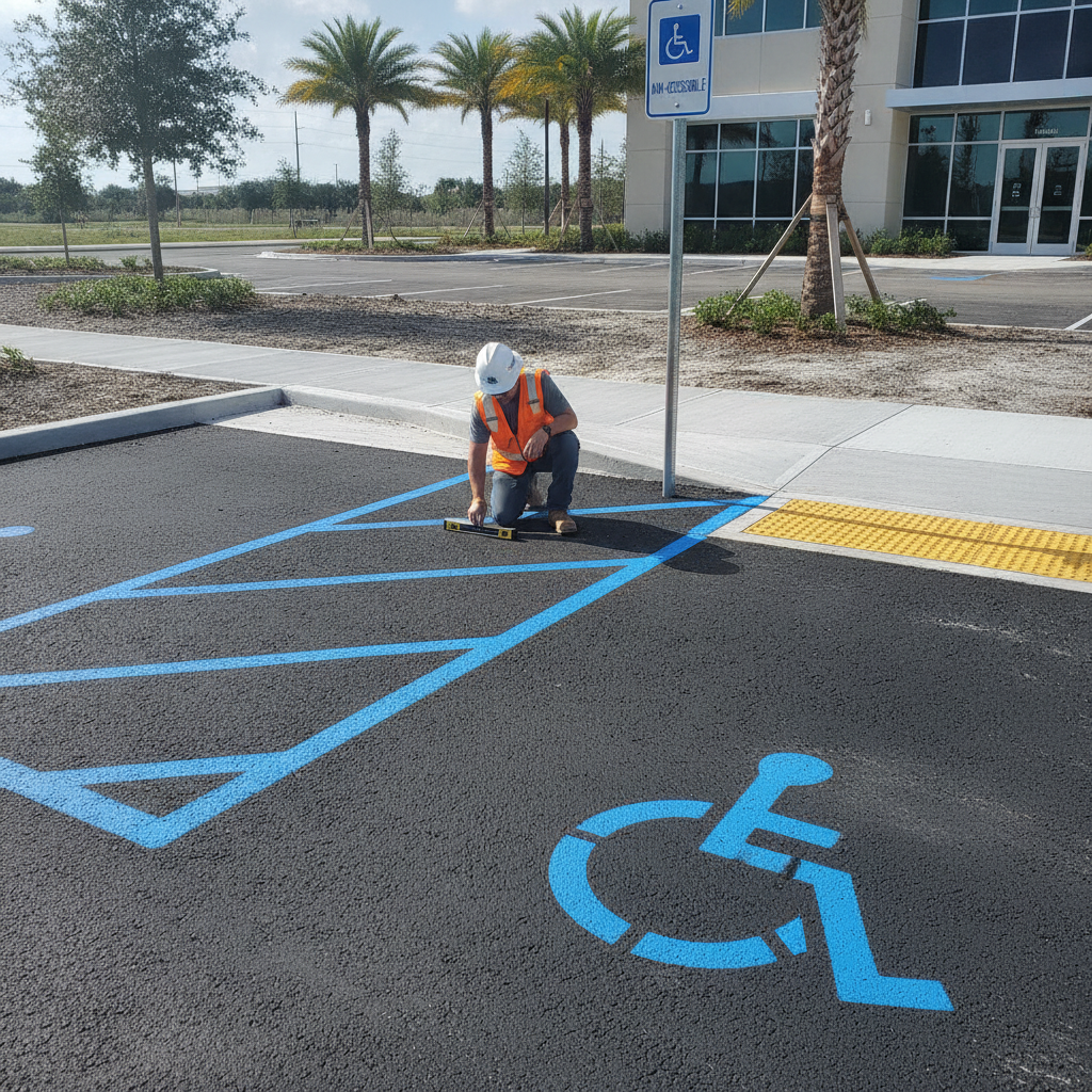
How Engineers Use the FLUM in Site Planning
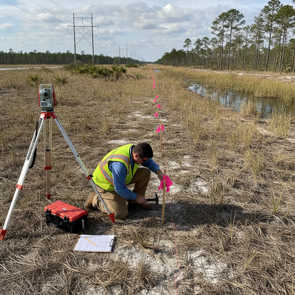
Civil engineers use the FLUM early in due diligence and conceptual design to:
Evaluate whether infrastructure can support future density.
Anticipate stormwater, traffic, and utility impacts.
Prepare reports for land use amendments or rezoning hearings.
Coordinate with local planning departments and MPOs (Metropolitan Planning Organizations).
Because many cities in Florida are updating their comprehensive plans to address climate resilience, engineers must also consider sea-level rise, floodplain adjustments, and drainage upgrades in FLUM-based studies.
For more on stormwater planning, see:
Drainage Review Requirements in Coastal Municipalities.
Common Issues During FLUM Review
Developers often face delays or denials due to:
Proposals that exceed designated density or intensity.
Projects located in areas reserved for conservation or open space.
Inconsistent public infrastructure planning (roads, utilities, or drainage).
Overlapping jurisdictions between city and county designations.
When this happens, an engineering consultant can prepare a comprehensive plan amendment package — including supporting data, traffic studies, and stormwater analyses — to justify the proposed land use change.
Conclusion
The Future Land Use Map is one of the first and most important tools in Florida’s development process. By understanding how your property fits into the long-term plan, you can design projects that align with local policies, reduce approval times, and ensure sustainable growth.
At RSP Engineers, we combine engineering insight and planning experience to help developers interpret FLUM data, prepare amendment packages, and deliver code-compliant, forward-looking projects across Florida.
FAQs
-
Zoning regulates what can be built today, while FLUM sets long-term development goals.
-
Most jurisdictions update their FLUM every 5–10 years during comprehensive plan revisions.
-
Not without an approved Comprehensive Plan Amendment, which must be reviewed and adopted by the local government.
-
On your city or county’s planning department website — most maintain interactive GIS maps online.
Partnering With Florida Developers for Strategic Planning
At RSP Engineers, we help developers navigate the intersection of engineering, zoning, and comprehensive planning. From preliminary land use analysis to full permitting support, our team ensures projects align with each jurisdiction’s long-term vision for growth.