Florida Easement Types and Their Impact on Development
In Florida, easements are a critical — yet often overlooked — factor that can shape how land is developed. An easement grants someone else the right to use a portion of your property for a specific purpose, such as utilities, drainage, or access.
Understanding where easements exist and how they restrict construction is essential to designing a compliant and buildable site plan. Overlooking an easement can lead to costly redesigns, permitting delays, or even legal disputes.

Example of recorded easement lines across Miami-Dade County (source: Miami-Dade Open Data Hub). Blue lines represent recorded utility and drainage easements that impact site development and permitting.
Why Easements Matter in Site Development
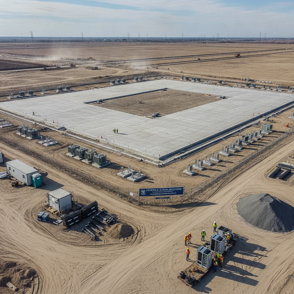
Easements directly affect site layout, drainage design, and infrastructure planning. They determine where buildings, driveways, and utilities can (or cannot) be placed.
Before preparing your site plan, a civil engineer near you should conduct a title review and overlay all recorded easements onto the project survey. This step ensures compliance with county regulations, prevents construction conflicts, and helps coordinate utility connections.
To learn how property data informs early development, read: How to Check if Your Florida Lot Is Buildable.
Common Easement Types in Florida
| Easement Type | Description |
|---|---|
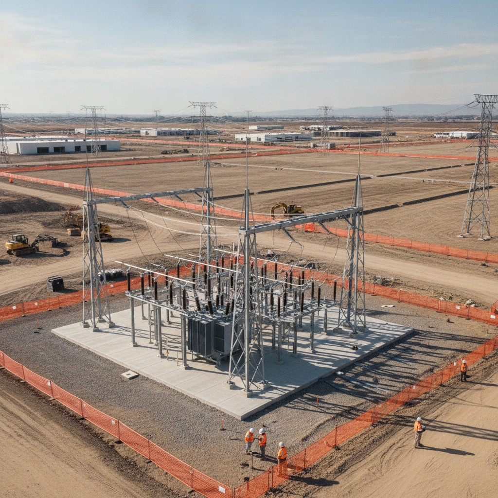
| Utility Easement | Grants public or private utility companies access to install and maintain electric, water, sewer, or telecom lines. Typically found along front, rear, or side property lines. |
| Drainage Easement | Allows the flow of stormwater across private property or the installation of drainage structures. These areas must remain free of permanent structures. |
| Access Easement | Provides a legal right-of-way for vehicles or pedestrians, especially in landlocked parcels or flag lots. |
| Conservation Easement | Restricts development to preserve wetlands, wildlife habitats, or natural resources. Commonly required by FDEP or Water Management Districts. |
| Ingress/Egress Easement | Specifies movement rights for property owners, utility crews, or emergency services, ensuring continuous access even across private land. |
| Maintenance Easement | Reserved for ongoing upkeep of drainage systems, ponds, or public facilities. Construction must not block access for maintenance activities. |
Working With Easements During Design
Easements are recorded on surveys, plats, and title commitments. When designing site plans, a planning engineer ensures all structures, driveways, and utilities are placed outside easement areas unless a formal vacation or modification is approved.
Counties like Miami-Dade and Broward provide public easement data through GIS portals such as the
Miami-Dade County Land Information Viewer.
If a development requires modifying or vacating an easement, the process involves a formal application, public notice, and review by the relevant municipality or utility provider.
For insights on city vs. county submissions, see: Preparing a Site Plan for Submission to a Florida City vs. County.
Common Challenges
Easements often go unnoticed until late in design or construction. Common issues include:
Overlapping building footprints or driveways with utility easements.
Unrecorded or outdated easement data on old plats.
Easements that limit required drainage or retention areas.
When combined with flood zones or wetland buffers, easements can significantly reduce the buildable footprint of a property.
For more on managing environmental constraints, read: Building in Environmentally Sensitive Areas in Florida.
Conclusion
Easements protect public infrastructure and environmental resources — but for developers, they also define the limits of what can be built. Identifying and mapping all easements early ensures smoother permitting and avoids costly revisions later in the process.
A qualified civil engineering company in Florida can help verify easement data, coordinate with local agencies, and design within legal boundaries while maximizing site potential.
FAQs
-
Easements are shown on recorded plats, surveys, or title reports. You can also view them on county GIS mapping tools or request copies from the property appraiser’s office.
-
Generally no. Most easements must remain clear for maintenance and access, unless a formal vacation or relocation is approved.
-
You must file an application with the granting agency or utility provider and, in many cases, receive approval through public hearings.
-
Yes. Large or restrictive easements can reduce usable land area and impact property valuation or project design flexibility.
Partnering With Florida Experts for Site Planning and Easement Coordination
At RSP Engineers, we specialize in reviewing and integrating easements, drainage rights, and utility corridors into detailed site development plans. Our team ensures your project meets all local, state, and utility requirements — protecting your investment from hidden restrictions and permitting setbacks.