Flood Zone Considerations for New Developments in Florida
Florida’s flood risks are as widespread as its coastlines. For developers, understanding flood zone designations is not only about protecting future residents and businesses—it’s also about securing permits, reducing liability, and ensuring long-term project viability.
In this article, RSP Engineers explains how flood zones impact new developments, the role of FEMA maps in planning, and the engineering strategies that make floodplain projects possible.


Why Flood Zones Matter in Development
Flood zones define the likelihood of flooding in a given area, and they directly influence:
Site feasibility – Whether the land can be developed without significant mitigation.
Permitting approvals – Local governments rely on floodplain data during reviews.
Insurance requirements – Properties in high-risk zones require flood insurance.
Project costs – Flood mitigation and stormwater solutions add to construction budgets.
Understanding FEMA Flood Maps
The Federal Emergency Management Agency (FEMA) issues Flood Insurance Rate Maps (FIRMs) that classify properties into zones:
| Flood Zone | Description | Impact on Development |
|---|---|---|
| Zone X | Minimal flood risk | Standard permitting and insurance |
| Zone AE | 1% annual chance of flooding | Requires floodplain management and elevation standards |
| Zone VE | High-risk coastal zone with wave action | Stricter building codes, elevated structures, extensive permitting |
| Zone A | High-risk inland flooding | Floodplain studies often required for site approval |
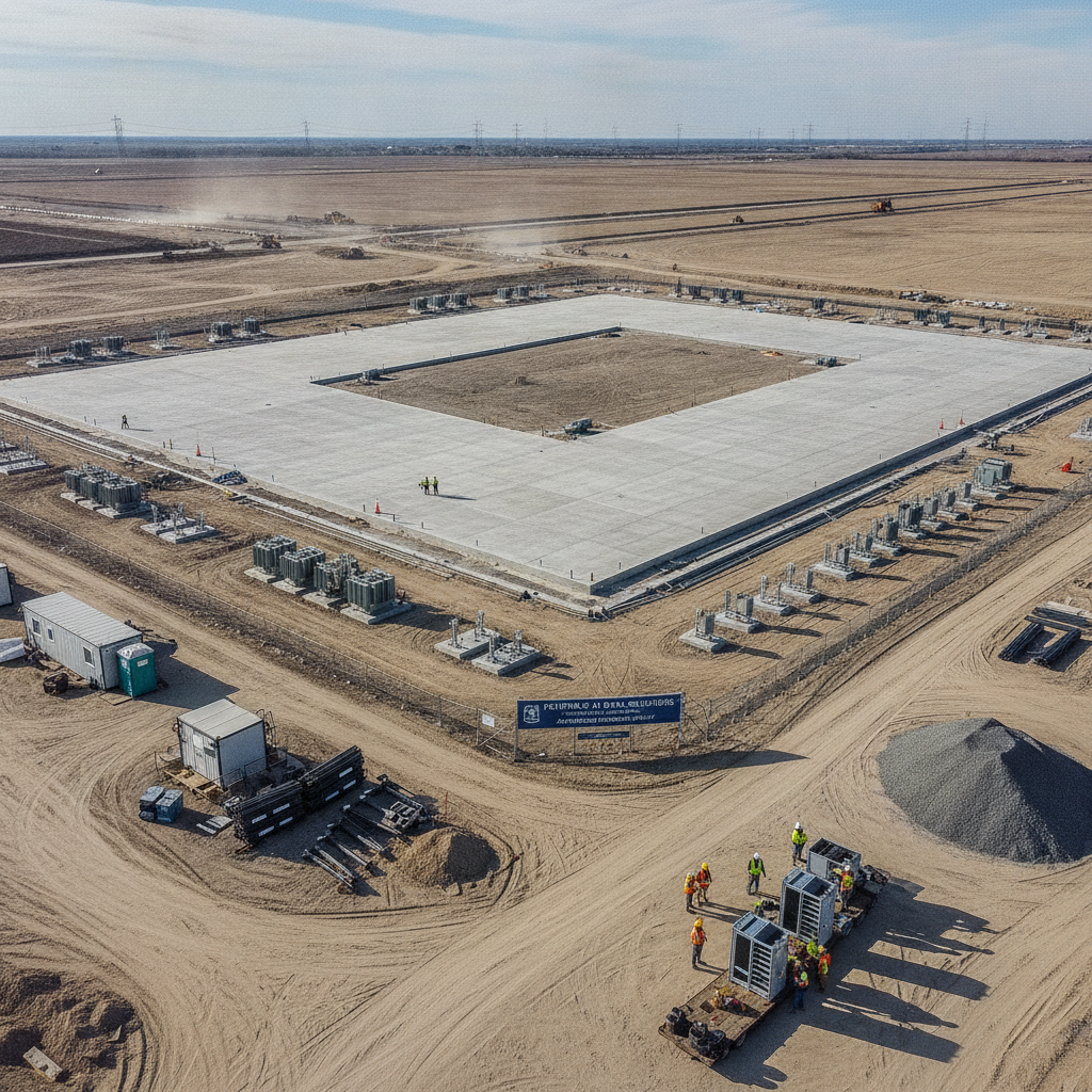
Engineering Solutions for Floodplain Sites
Developing in a flood zone doesn’t always mean walking away from a site. With the right engineering strategies, developers can still bring projects to life:
Elevated foundations – Raising finished floor elevations above Base Flood Elevation (BFE).
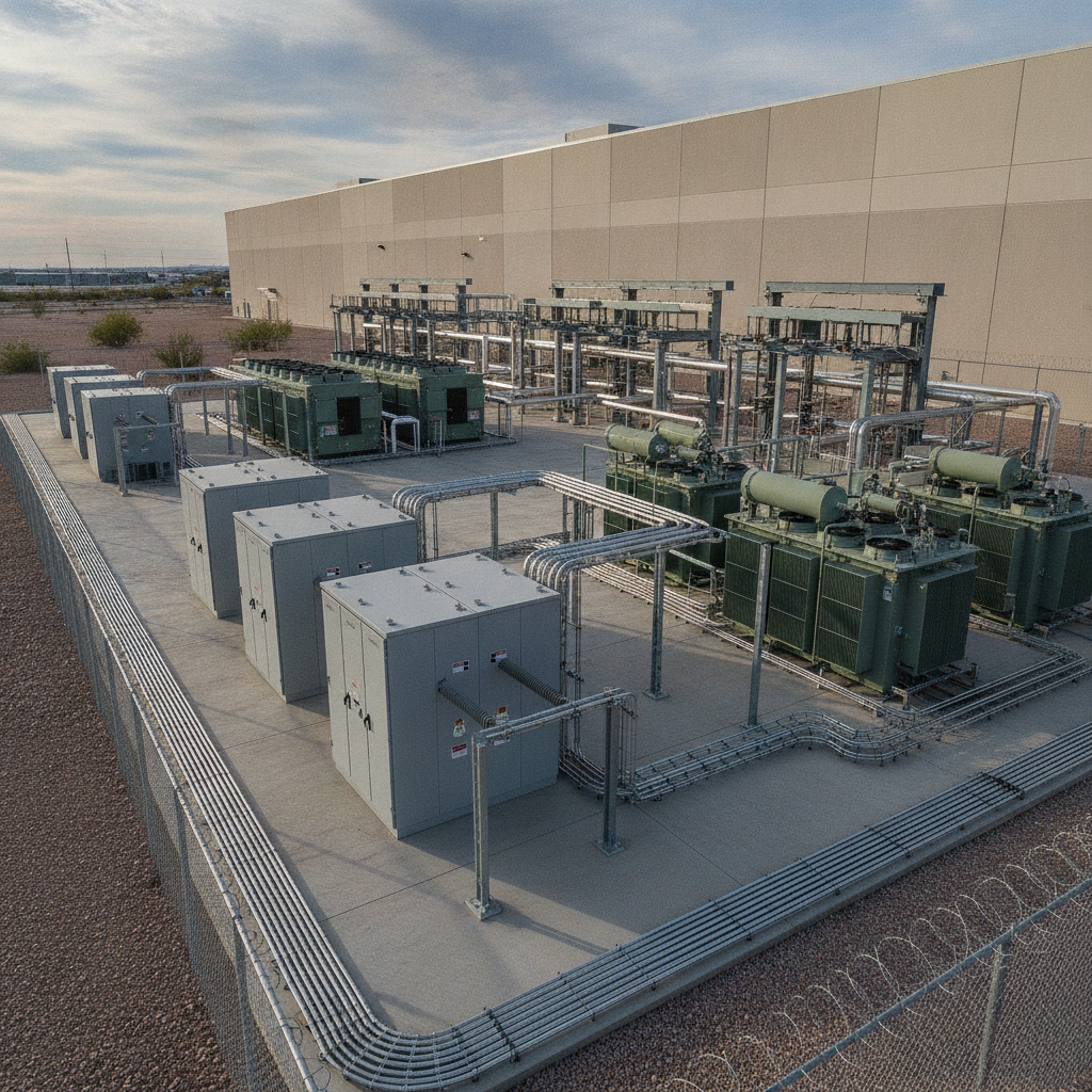
Stormwater retention and detention systems – Preventing additional flooding downstream.
Wetland preservation or mitigation – Maintaining natural flood storage.
Erosion control – Protecting structures and drainage systems from storm surge.
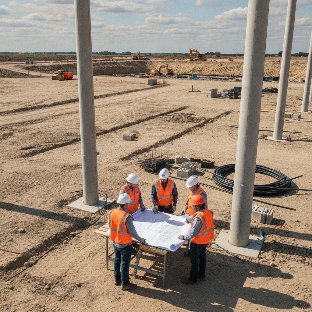
Permitting and Regulatory Requirements
Flood zone projects require coordination with local governments, water management districts, and FEMA regulations. Developers should anticipate:
Floodplain permits at the county or city level
ERP (Environmental Resource Permit) reviews through the Florida Department of Environmental Protection (FDEP)
Coordination with FEMA for Letter of Map Revision (LOMR) requests when altering floodplains
For official FEMA flood maps, visit the FEMA Flood Map Service Center.
Conclusion
Flood zone considerations shape every stage of development in Florida—from site selection to permitting and final design. By integrating floodplain data early, developers can reduce costs, avoid delays, and create resilient communities.
FAQs
-
A FIRM identifies flood-prone areas and assigns them a zone designation. Developers use these maps to guide design and permitting. You can access them at FEMA.gov.
-
Yes, but projects require additional engineering measures such as raised structures, floodproofing, and extensive permitting reviews.
-
Yes—lots in high-risk flood zones may be less attractive due to insurance costs, but with strong engineering and resilient design, they remain viable for development.
-
FEMA provides national mapping, while local governments and regional water management districts oversee permitting and enforcement.
Development Planning in Flood Zones
RSP Engineers helps developers evaluate flood risks and design resilient, compliant stormwater and site plans. Our team integrates civil and environmental expertise to ensure your project moves forward—whether in Zone X or VE. Contact us today for tailored engineering support.