
Modeling Proposed Runoff From Data Center Developments
A technical guide for data center developers on modeling post-development stormwater runoff, including design storms, curve numbers, and permitting strategies for large impervious sites.
Establishing Pre-Development Hydrologic Conditions
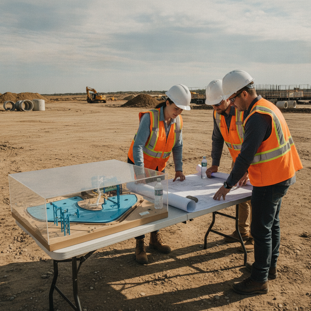
Before any post-development impacts can be quantified, a civil engineering team must first establish a clear baseline of the site’s existing hydrologic conditions. This pre-development model serves as the benchmark against which all proposed changes are measured. The process begins with a detailed analysis of existing topography, often derived from recent boundary and topographic surveys, to delineate the site’s drainage basins and determine natural flow paths. This data shows where water flows onto, across, and off the property in its current state. Engineers then characterize the land cover within these basins—such as woods, pasture, or open space—and reference soil data from sources like the USDA’s Natural Resources Conservation Service (NRCS). This information is used to calculate the pre-development runoff curve number (CN) or runoff coefficient, which quantifies how much rainfall becomes runoff. A comprehensive understanding of these pre-development conditions is essential for demonstrating that the proposed site development and its associated stormwater management system will not cause adverse off-site impacts.
Selecting Appropriate Design Storms and Rainfall Data
Key Parameters in Data Center Stormwater Models
| Parameter | Description | Typical Assumption for Data Center Sites |
|---|---|---|
| Runoff Curve Number (CN) / Runoff Coefficient (C) | A value representing the runoff potential of a surface. Higher values mean more runoff. | Very high composite values (often 90-98 for CN) due to extensive roof and pavement areas. |
| Time of Concentration (Tc) | The time required for runoff to travel from the most remote point of the watershed to the outlet. | Significantly shorter in post-development due to efficient conveyance (gutters, pipes, paved surfaces). |
| Design Storm Frequency | The statistical recurrence interval of a storm event used for design (e.g., 25-year, 100-year). | A range of storms must be analyzed per local and state criteria to ensure compliance for multiple events. |
| Pond/Storage Stage-Storage | The relationship between water depth (stage) and the volume of water stored in a facility. | Based on precise grading of detention ponds or manufacturer specifications for underground vaults. |
| Outlet Structure Configuration | The design of the pipes, weirs, or orifices that control the rate of discharge from a storage facility. | Designed with multiple stages (e.g., low-flow orifice, primary weir) to control release rates for different storm events. |
| Tailwater Condition | The water surface elevation at the downstream boundary of the model (e.g., in a receiving stream or culvert). | Often modeled conservatively using high-water elevations to ensure the system functions under stressed conditions. |
A stormwater model simulates a site’s response to specific, hypothetical rainfall events known as design storms. These storms are defined by their duration (e.g., 24 hours) and frequency or probability of occurrence (e.g., a 25-year storm, which has a 4% chance of occurring in any given year). The selection of which design storms to analyze is a critical step dictated by regulatory criteria. Engineers typically source precipitation data from official publications like the National Oceanic and Atmospheric Administration (NOAA) Atlas 14, which provides rainfall depths for various storm frequencies across the United States. The specific design storms required for analysis and permitting (such as the 10-year, 25-year, and 100-year events) vary by jurisdiction, and every project team should confirm the applicable standards with the local, state, regional, and federal authorities that hold review authority over the site. A thorough drainage design must demonstrate compliance across this full spectrum of required events, ensuring the system can handle both common storms and more extreme, less frequent rainfall without failure or negative downstream consequences.
Characterizing Post-Development Impervious Surfaces
The transition from undeveloped land to a data center facility represents a dramatic shift in land use. The proposed condition is dominated by impervious surfaces—building roofs, asphalt parking lots, concrete loading docks, and access roads. These surfaces prevent rainfall from infiltrating into the ground, leading to a significant increase in both the volume and the peak rate of stormwater runoff. A key task for the design engineer is to accurately quantify these new surfaces from the proposed site plan design. Using the site plan, the engineer calculates a post-development composite curve number or runoff coefficient that reflects this new landscape. For data centers, this value is typically very high, approaching the maximum values used for pure pavement and rooftops. This updated parameter is a primary input for the post-development hydrologic model and directly influences the required size and scale of the proposed stormwater management facilities needed to mitigate the impacts of the land development.
Calculating Time of Concentration and Routing Flows
Time of concentration (Tc) is a critical timing parameter in hydrology, representing the time it takes for runoff from the most hydraulically distant point of a drainage basin to reach the point of interest. In post-development scenarios, Tc is often significantly shorter than in pre-development conditions. This is because runoff travels much faster over smooth surfaces like pavement and through engineered conveyance systems like storm sewers and concrete channels. A shorter Tc means that runoff from the entire site arrives at the discharge point more quickly, resulting in a higher, more “peaked” hydrograph and a greater peak discharge rate. The civil engineering model accounts for this by calculating the new Tc based on the proposed layout and infrastructure. The model then performs hydrograph routing, simulating how the runoff flows through the proposed network of pipes, inlets, and swales. This routing analysis is also used to model the performance of proposed detention or retention ponds, showing how they capture this rapid influx of water and release it at a controlled rate.
Designing Stormwater Management Facilities for Attenuation
The primary goal of most stormwater management systems is peak flow attenuation. This means the system must be designed to ensure that the peak rate of runoff leaving the site after development is no greater than the peak rate of runoff that left the site before development. For data centers, achieving this requires significant storage volume. The hydrologic model is the tool used to size these facilities appropriately. Engineers use the model to iteratively design stormwater facilities like dry detention ponds, wet retention ponds, or large-scale underground storage systems (e.g., pipe networks or vaults). By routing the post-development hydrograph through a proposed facility, the model can predict the maximum water surface elevation and the peak outflow rate. The design is adjusted until the outflow meets the pre-development target for all required design storms. This process is fundamental to achieving zoning compliance and securing a land development permit.
How RSP Engineers Approaches Data Center Drainage Design
At RSP Engineers, our approach to data center drainage design is proactive and integrated. We begin with a comprehensive due diligence and site assessment to identify potential hydrologic constraints and opportunities early in the project lifecycle. Our team collaborates closely with developers, architects, and other consultants to seamlessly integrate robust stormwater management solutions into the overall site plan design, preserving valuable land for the core facility. We utilize industry-standard H&H modeling software to build defensible, transparent, and accurate models that stand up to rigorous scrutiny. Our process emphasizes clear documentation and a proactive approach to agency review, anticipating reviewer comments and addressing them within the initial permit submittals. This methodology helps streamline the permitting process, reducing delays and providing our clients with greater certainty as they move toward construction.
Common Scrutiny Points During Agency Review
Submitting a stormwater model for regulatory review is a critical milestone. Reviewing agencies will closely scrutinize the model’s assumptions and methodology to ensure compliance with all applicable regulations. Being prepared for this scrutiny is key to avoiding lengthy review cycles. If you’re looking for one of the best Civil Engineering firms, it’s important to choose one that understands this process. Common points of focus for reviewers include: Justification of Curve Numbers: Agencies will verify that the CN values used for both pre- and post-development conditions are appropriate and well-documented. Time of Concentration Paths: The flow paths and calculation methods used to determine Tc must be clearly shown and justified. Tailwater Assumptions: The downstream water level assumptions used in the model can significantly impact pond performance and will be carefully checked. Outlet Control Structure Design: The design of the outlet structure must be proven to effectively control discharge rates for all required storm events. Emergency Overflow: A safe, stable overflow path must be provided to handle storms that exceed the system’s design capacity.
Partner with RSP Engineers for Your Mission-Critical Development
Navigating the complexities of stormwater management and permitting for data center projects requires specialized expertise. The team at RSP Engineers has a proven track record of delivering sophisticated drainage design and modeling solutions for large-scale, mission-critical facilities nationwide. We provide the technical excellence and regulatory insight needed to support your project from initial due diligence and site plan design through final construction. Connect with us to ensure your development is built on a foundation of sound engineering.
Conclusion
For data center developments, accurate and defensible hydrologic modeling is a non-negotiable component of the design and permitting process. It is the analytical engine that drives the design of a compliant and effective stormwater management system, protecting the asset and the surrounding environment. A well-executed model provides the foundation for a successful site development project, mitigating risks and streamlining the path to regulatory approval. Partnering with an experienced civil engineering consultant is the most effective way to navigate these technical challenges with confidence.
FAQs
-
It’s critical due to their large impervious footprint, which generates substantial runoff. Proper stormwater management is essential to prevent on-site and off-site flooding, protect high-value equipment, ensure operational continuity, and comply with environmental regulations.
-
Exceeding pre-development runoff rates can lead to downstream flooding, channel erosion, and degradation of water quality. This typically results in permit denial, forcing costly redesigns and significant project delays. It can also create long-term liability for the property owner.
-
Yes, underground storage vaults or pipe systems are a common solution for data center sites where land is at a premium. They effectively manage stormwater while maximizing the usable surface area for buildings and infrastructure. However, they often have higher initial costs and different long-term maintenance requirements than surface ponds.