
Flood Risk Due Diligence Before Data Center Land Purchase
A comprehensive guide to flood risk due diligence for data center land purchases. Learn how civil engineers evaluate FEMA maps, surveys, and regulatory risks nationwide.
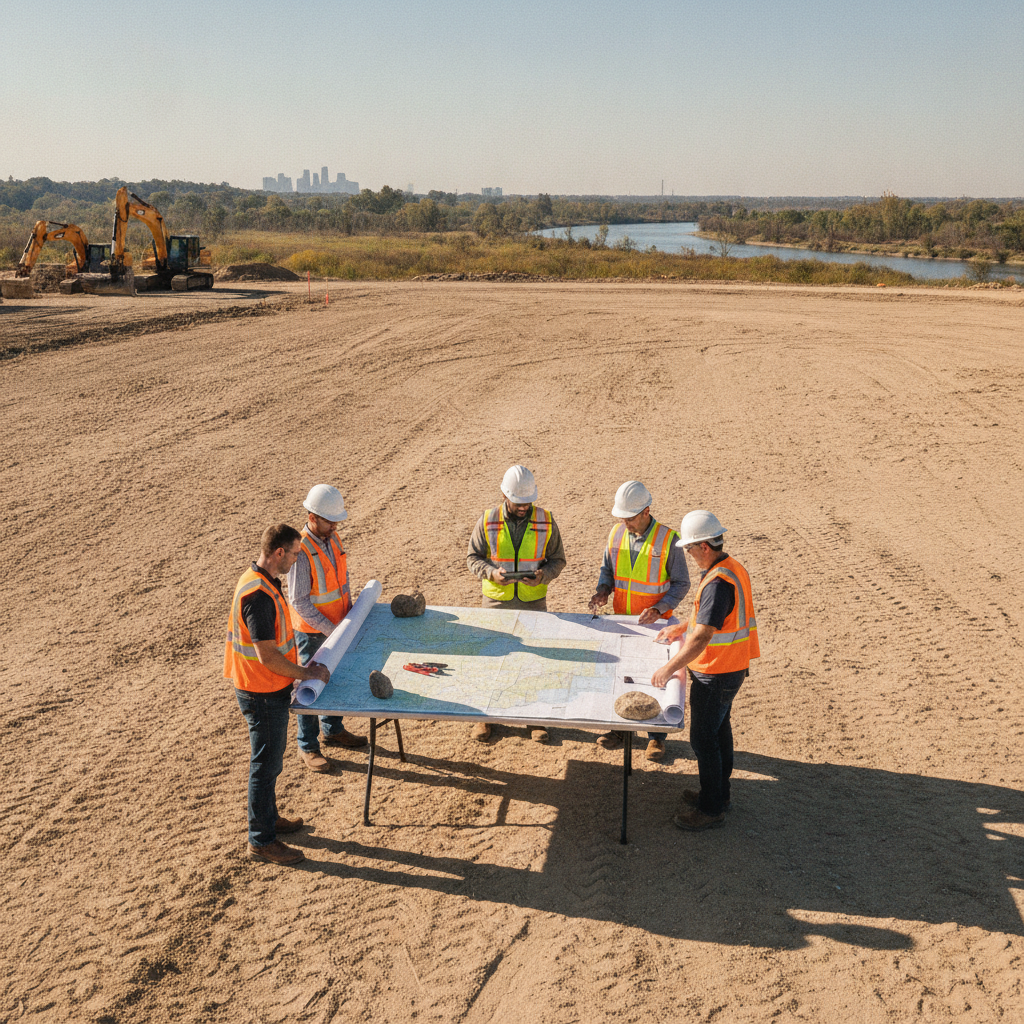
Beyond the FIRM: Initial Floodplain Mapping Analysis
The starting point for any flood risk assessment is the Federal Emergency Management Agency (FEMA) Flood Insurance Rate Map (FIRM). These maps delineate areas subject to flooding during a 1% annual chance storm event, also known as the 100-year flood. Understanding the designated zones—such as Zone AE (with a determined Base Flood Elevation), Zone A (approximated floodplain), and Zone X (considered outside the 100-year floodplain)—is the first step in evaluating a property’s baseline risk profile. This initial analysis is a core component of any site development feasibility study. However, relying solely on the current effective FIRM is a common and dangerous oversimplification. These maps are snapshots in time and may not reflect recent topographical changes, upstream development, or updated hydrologic modeling. A thorough due diligence process involves researching the site’s history through Letters of Map Change (LOMCs), including Letters of Map Revision (LOMRs) and Letters of Map Amendment (LOMAs), which can alter the floodplain boundaries for specific parcels. Reviewing historical FIRMs can also reveal trends, such as an expanding regulatory floodplain, that indicate increasing risk over time.
The Necessity of Site-Specific Topographic Survey Data
Flood Risk Due Diligence Checklist
| Diligence Item | Data Source / Method | Key Finding / Implication |
|---|---|---|
| FEMA FIRM Review | Effective FIRM, LOMCs, Historical Maps | Identifies baseline regulatory floodplain, BFE, and historical trends in flood risk. |
| Topographic & Boundary Survey | Field survey by a licensed professional | Provides precise ground elevations essential for accurate modeling and finished floor design. |
| Upstream/Downstream Analysis | GIS watershed mapping, infrastructure inspection, hydraulic modeling | Evaluates off-site risks from future development and downstream conveyance restrictions. |
| Regulatory Code Review | Local, state, and federal ordinances; consultation with agencies | Defines permitting pathways, compensatory storage needs, and no-rise requirements. |
| Historical Data Review | Municipal records, news archives, NOAA data, local interviews | Uncovers history of nuisance flooding or events exceeding mapped floodplain limits. |
| Future Conditions Modeling | Climate projection data, future land use maps, hydrologic models | Assesses long-term viability by modeling increased rainfall and upstream development. |
While public terrain data from sources like the U.S. Geological Survey (USGS) provides a regional overview, it lacks the precision required for mission-critical facility design. For a data center, where finished floor elevations must be set with absolute certainty, a project-specific topographic survey is non-negotiable. This detailed survey, conducted by a licensed surveyor, provides precise ground elevations to a high degree of accuracy, capturing subtle changes in grade that can direct or trap floodwaters. A comprehensive survey for land development goes beyond simple elevations. It should identify and locate all existing drainage features, such as ditches, culverts, and wetlands, as well as the invert elevations of storm and sanitary sewer systems. This information is the foundation for all subsequent drainage design and hydraulic modeling. Without this precise, field-verified data, any analysis of on-site flood risk or design for stormwater management is based on assumptions that are unacceptable for a high-value asset like a data center.
Regulatory Frameworks and Permitting Pathways
Navigating the regulatory landscape is a critical component of flood risk due diligence. Development within or near a regulated floodplain is governed by a combination of federal, state, and local regulations, primarily based on the minimum standards of the National Flood Insurance Program (NFIP). The local floodplain administrator, often part of the municipal planning or building department, is the primary authority for interpreting and enforcing these rules. Key concepts include requirements for compensatory storage—excavating volume to offset any floodplain fill—and, for development in a designated floodway, a no-rise certification demonstrating the project will not increase flood levels. These regulations dictate what can be built, where it can be placed, and how high it must be elevated. Permitting requirements for site development within or near regulated floodplains vary by jurisdiction, and every project team should confirm the applicable standards with the local, state, regional, and federal authorities that hold review authority over the site. Early engagement with these agencies can clarify expectations and identify potential hurdles long before the design is finalized. A thorough civil engineering assessment will identify all applicable codes and outline a clear permitting strategy.
Evaluating Upstream and Downstream Hydraulic Conditions
A property does not exist in a vacuum. Its flood risk is heavily influenced by conditions far beyond its boundaries. A comprehensive due diligence study must include an analysis of the entire contributing watershed. Future development upstream can significantly increase the volume and rate of stormwater runoff, potentially overwhelming existing drainage systems and expanding the floodplain. Reviewing local comprehensive plans and zoning maps can help anticipate these changes and model their impact on the subject property. Equally important is the downstream analysis. The site’s stormwater must have a legal and viable path to a final outfall. This involves evaluating the capacity and condition of all downstream hydraulic conveyance systems, such as channels, culverts, and bridges. A constricted culvert or poorly maintained channel miles away can create a bottleneck, causing floodwaters to back up and inundate the site. Identifying these off-site constraints is a crucial part of a holistic stormwater management plan and can be a fatal flaw if no feasible solution exists.
Historical and Anecdotal Flood Data Investigation
Official maps and models provide the technical foundation, but historical and anecdotal data offer invaluable real-world context. A diligent investigation seeks out information on past flooding events that may not be reflected in current FIRMs. This can involve reviewing municipal records of road closures or infrastructure damage, searching news archives for reports on major storms, and analyzing data from sources like the National Oceanic and Atmospheric Administration (NOAA). Often, the most insightful information comes from discussions with local public works staff or long-term residents. They may be aware of localized drainage problems or areas of “nuisance flooding” that occur during more frequent, less severe storms. This qualitative data helps paint a more complete picture of the site’s hydrological behavior and can flag underlying issues with the local stormwater infrastructure that a purely technical review might miss.
Assessing Future Risks: Climate Change and Development Trends
Data centers are designed for a lifespan of decades, so due diligence must look beyond current conditions. Forward-looking analysis incorporates projections for how climate change may alter future flood risk. This includes evaluating updated rainfall intensity-duration-frequency (IDF) curves, which predict more intense precipitation events, and assessing potential sea-level rise for coastal or tidally influenced sites. Designing for future, more stringent conditions is a key principle of climate change resilience. This proactive approach also extends to development trends. As noted, future upstream land development will increase impervious surfaces and runoff, altering the watershed’s hydrology. A sophisticated civil engineering analysis will model these future conditions to ensure the site’s infrastructure is designed not just for today’s regulations, but for the realities of tomorrow. This protects the long-term viability of the asset and avoids costly retrofits down the road.
RSP Engineers’ Approach to Flood Risk Assessment
At RSP Engineers, we employ a phased approach to flood risk due diligence that provides clients with actionable intelligence at every stage of the acquisition process. Our process begins with a high-level desktop analysis using GIS, available FIRMs, and public data to identify potential red flags and initial feasibility. This allows for a quick and cost-effective initial screening of multiple properties. For promising sites, we proceed to a detailed investigation that includes commissioning a comprehensive topographic survey, performing detailed hydrologic and hydraulic modeling, and engaging directly with regulatory agencies. We work closely with the client’s legal and real estate teams to translate our technical findings into clear contract language, such as extended due diligence periods, price adjustments, or specific closing conditions. Our goal is to de-risk the project by providing a clear, data-driven understanding of the site’s challenges and opportunities, forming the basis for a resilient site plan design and a smooth permitting process.
Common Pitfalls in Data Center Flood Risk Due Diligence
Even experienced development teams can encounter pitfalls when evaluating flood risk. One of the most common is relying solely on the effective FIRM while ignoring local amendments or ordinances that impose higher standards, such as additional freeboard requirements. Another frequent oversight is underestimating the impact of off-site, downstream restrictions on the on-site drainage design; a perfect site plan is useless if the water has nowhere to go. Failing to secure a detailed topographic survey early in the process can lead to significant design rework and schedule delays. Finally, teams must be aware of the potential for future map revisions. A site currently in Zone X could be mapped into a Special Flood Hazard Area in a future Letter of Map Revision (LOMR), fundamentally altering the project’s feasibility and cost. Proactive due diligence includes checking for any pending or preliminary map updates from FEMA or local authorities.
Partner with RSP Engineers for Mission-Critical Site Due Diligence
Protecting your data center investment starts with a rigorous, data-driven understanding of site-specific flood risks. The team at RSP Engineers provides nationwide expertise in civil engineering, comprehensive stormwater management, and navigating complex permitting for mission-critical facilities. We translate complex hydraulic data and regulatory codes into clear, actionable guidance to support your land acquisition and development strategy. Don’t leave your project’s viability to chance. Contact us today to discuss how our site engineering services can secure your next data center development.
Conclusion: Proactive Diligence is Non-Negotiable
In the world of data center development, flood risk is a manageable but critical variable that must be addressed head-on during the due diligence phase. A superficial review is insufficient. A thorough process that integrates analysis of regulatory maps, site-specific survey data, upstream and downstream conditions, and future climate trends is essential to protect a multi-billion-dollar investment. Ultimately, expert civil engineering guidance transforms uncertainty into a clear risk profile, empowering developers to make informed decisions, negotiate from a position of strength, and ensure the long-term resilience of their critical infrastructure through sound land development practices.
FAQs
-
The 100-year floodplain (typically Zones A or AE) has a 1% chance of being inundated in any given year. The 500-year floodplain (often shown as a Shaded Zone X) has a 0. 2% annual chance of flooding. While regulations primarily focus on the 100-year event, many mission-critical operators require their facilities to be protected from the 500-year flood as a higher standard of care for risk management.
-
Yes, but it requires significant and often costly civil engineering solutions. This typically involves elevating the site with fill, which then requires providing volume-for-volume compensatory storage. All structures must be elevated above the Base Flood Elevation, and critical equipment may need additional floodproofing. The permitting process is also far more complex and lengthy.
-
A no-rise certification is required for any encroachment into a designated floodway. It requires a detailed hydraulic modeling study to prove that the proposed development will not cause any increase (a 0. 00-foot rise) in flood elevations upstream. This stringent requirement can severely limit the developable area and building footprint within the floodway portion of a property.