
Navigating Florida’s Future Land Use Map (FLUM)
Explore how to navigate Florida’s Future Land Use Map (FLUM) for successful land development, including zoning compliance, permitting, and utility coordination.
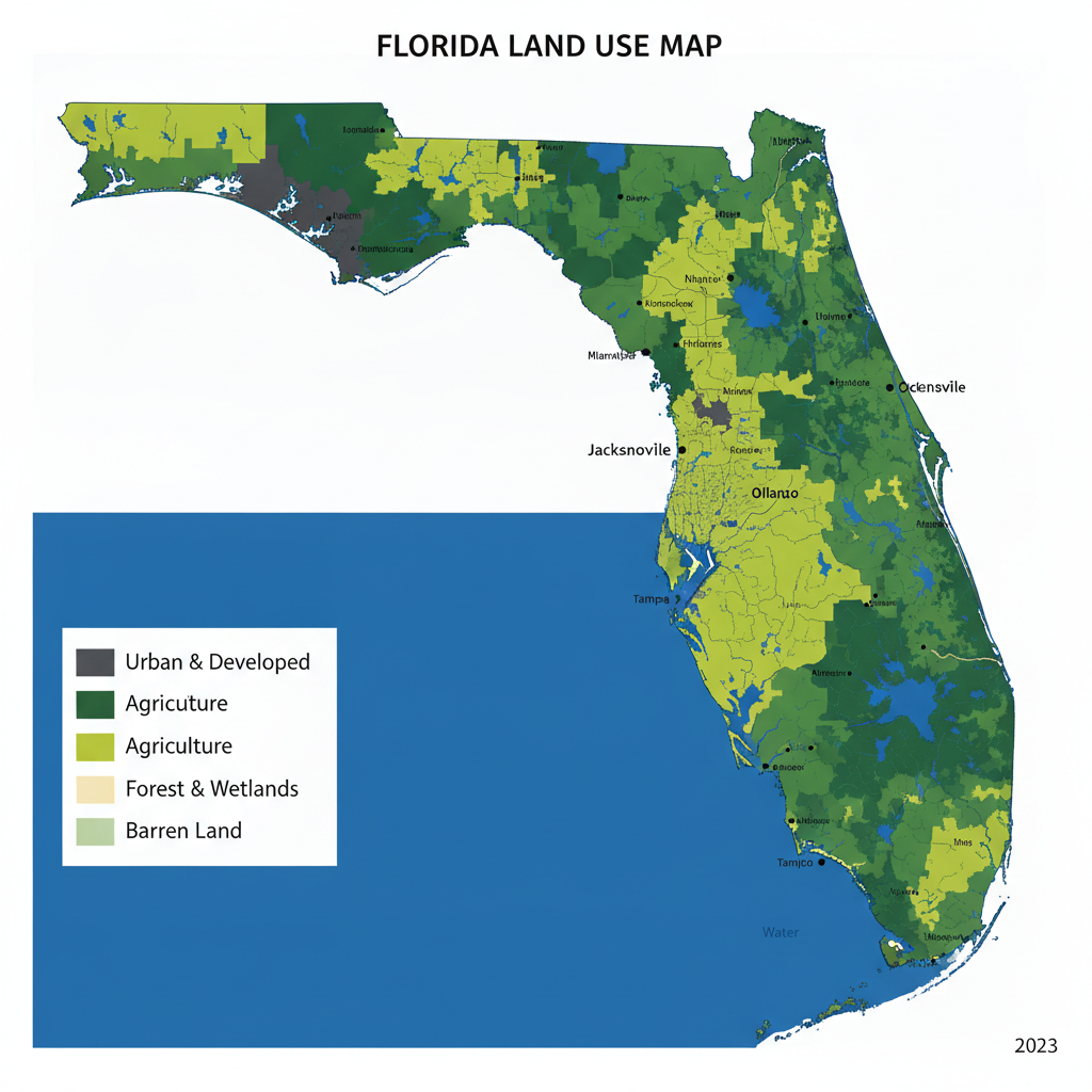
Understanding the Future Land Use Map (FLUM)
The Future Land Use Map (FLUM) is a visual representation of a community’s long-term vision for land use. It outlines designated areas for residential, commercial, industrial, and other land uses, guiding developers and civil engineering firms in making informed decisions. The FLUM is a key component of a municipality’s comprehensive plan, which is mandated by Florida’s Growth Management Act. By understanding the FLUM, developers can align their projects with the community’s goals, ensuring that their plans are consistent with local zoning regulations and land use policies. This alignment is crucial for obtaining necessary permits and approvals from local authorities.
Key Components of the FLUM
FLUM Application Requirements
| Component | Description | Considerations |
|---|---|---|
| Land Use Designations | Defines the intended use of land | Ensure alignment with project goals |
| Zoning Districts | Regulations for each land use | Verify compliance with local standards |
| Overlay Districts | Additional regulations for special areas | Consider environmental and community needs |
| Transportation Corridors | Major roadways and infrastructure | Assess impact on site access and development |
| Utility Infrastructure | Access to water, sewer, electricity | Coordinate with providers for service availability |
The FLUM includes several key components that developers must consider: Land Use Designations: These indicate the intended use of land, such as residential, commercial, or industrial. Zoning Districts: These define the specific regulations and standards for each land use designation. Overlay Districts: These are special areas with additional regulations to address unique community needs or environmental concerns. Transportation Corridors: These highlight major roadways and transportation infrastructure that impact land development. Each of these components plays a vital role in shaping the development potential of a site and must be carefully analyzed during the planning phase.
FLUM Application in Land Development
Applying the FLUM in land development involves several steps: First, developers must review the FLUM to identify the land use designation of their site. This will determine the types of development that are permissible and any restrictions that may apply. Next, they must assess the zoning district regulations to ensure their project complies with local standards for density, setbacks, and building height. Additionally, developers should consider any overlay districts that may affect their site. These districts often impose additional requirements related to stormwater management, environmental protection, or historic preservation.
FLUM and Zoning Compliance
Ensuring zoning compliance is a critical aspect of navigating the FLUM. Developers must work closely with local planning departments to verify that their projects meet all zoning requirements. This includes adhering to land use designations, density limits, and other regulatory standards. Failure to comply with zoning regulations can result in project delays, increased costs, and potential legal challenges. Therefore, it is essential for developers to engage with experienced civil engineers and planners who are familiar with the intricacies of Florida’s zoning laws.
FLUM and Permitting Process
The FLUM plays a significant role in the permitting process. Before a project can proceed, developers must obtain various permits from local, state, and federal agencies. These permits ensure that the project complies with environmental regulations, building codes, and other legal requirements. By aligning their projects with the FLUM, developers can streamline the permitting process and reduce the risk of delays. This alignment demonstrates to permitting authorities that the project is consistent with the community’s long-term land use goals.
FLUM and Utility Coordination
Utility coordination is another critical aspect of land development that is influenced by the FLUM. Developers must ensure that their projects have access to necessary utilities, such as water, sewer, and electricity. The FLUM can help identify existing utility infrastructure and potential challenges related to utility access. Effective utility coordination requires collaboration with utility providers and local government agencies. Developers should engage with civil engineering firms that have experience in navigating utility coordination challenges in Florida.
RSP Engineers’ Approach to FLUM Navigation
At RSP Engineers, we leverage our expertise in civil engineering and land development to help clients navigate the complexities of the FLUM. Our team conducts thorough analyses of land use designations, zoning districts, and overlay regulations to ensure project compliance and feasibility. We work closely with local planning departments and utility providers to streamline the permitting process and facilitate effective utility coordination. Our goal is to help clients achieve successful project outcomes while adhering to Florida’s land use policies and regulations.
Common Issues with FLUM Navigation
Developers often encounter several common issues when navigating the FLUM: Zoning Conflicts: Misalignment between project plans and zoning regulations can lead to delays and additional costs. Utility Access: Challenges in securing utility connections can impact project timelines and budgets. Environmental Constraints: Overlay districts may impose additional requirements for environmental protection, affecting project design. Addressing these issues requires proactive planning and collaboration with experienced professionals who understand the nuances of Florida’s land use framework.
Contact RSP Engineers
For expert guidance on navigating Florida’s Future Land Use Map and ensuring successful project outcomes, contact RSP Engineers. Our team of experienced civil engineers specializes in zoning compliance, permitting, and utility coordination. Let us help you achieve your land development goals in Florida.
Conclusion
Navigating Florida’s Future Land Use Map is a complex but essential task for successful land development. By understanding the FLUM’s components and aligning projects with its guidelines, developers can ensure zoning compliance, streamline the permitting process, and effectively coordinate with utility providers. RSP Engineers is here to support your development efforts with our expertise in civil engineering and land use planning.
FAQs
-
The FLUM serves as a guide for long-term land use planning, helping communities manage growth and development in a sustainable manner. It outlines designated areas for various land uses, ensuring that development aligns with community goals and zoning regulations.
-
The FLUM influences the permitting process by providing a framework for evaluating project compliance with land use policies. Projects that align with the FLUM are more likely to receive timely approvals from permitting authorities.
-
Overlay districts are special areas with additional regulations to address specific community needs or environmental concerns. They may impose extra requirements related to stormwater management, historic preservation, or other factors, impacting project design and implementation.