
Data Center Hydrology Reports Explained
A deep dive into the critical components of a data center hydrology report. Learn about drainage, runoff, permitting, and stormwater management.
The Critical Role of Hydrology in Data Center Site Selection
Before a single server is installed, the success of a data center hinges on robust site engineering services. The hydrology report is a cornerstone of this process, providing a detailed assessment of how water behaves on and around a potential site. For a data center, which features vast rooftops, extensive parking lots, and other non-porous surfaces, understanding and mitigating the impact of this increased impervious coverage is paramount. An inadequate stormwater management system can lead to localized flooding, equipment damage, and catastrophic operational downtime. This analysis directly influences site layout, finished floor elevations, and the location of critical infrastructure like generator yards and electrical substations. A thorough hydrologic study, conducted early in the due diligence phase, can identify potential deal-breakers, such as significant floodplain encroachment or insufficient area for required water quality treatment ponds. It provides the quantitative data needed to satisfy regulatory bodies like local’s Water Management Districts (WMDs) and local municipalities, forming the basis for the entire civil engineering design.
Delineating Drainage Basins and On-Site Conveyance
Pre- vs. Post-Development Hydrologic Parameter Comparison
| Hydrologic Parameter | Pre-Development Condition (Forested Land) | Post-Development Condition (Data Center) | Regulatory Requirement |
|---|---|---|---|
| Impervious Area | ~2% (dirt trails, rocks) | ~85% (building, pavement, concrete) | Account for all new impervious surfaces in calculations. |
| Runoff Coefficient (C-Value) | 0.20 - 0.30 | 0.85 - 0.95 | Post-development runoff must be captured and treated. |
| Time of Concentration (Tc) | 45 minutes (overland sheet flow) | 10 minutes (gutter and pipe flow) | Faster Tc increases peak flow; must be attenuated. |
| Peak Discharge (25-yr Storm) | 15 cfs | 120 cfs (unmitigated) | Post-development discharge rate must not exceed pre-development rate. |
| Required Water Quality Volume | N/A | Calculated based on impervious area and basin size | Must provide treatment for a specific volume of runoff per agency rules. |
| Floodplain Impact | No fill within 100-year floodplain | No adverse impact; compensatory storage may be required. | Must meet FEMA and local floodplain management ordinances. |
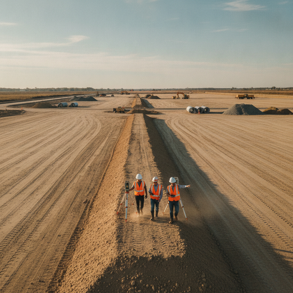
The first step in any hydrologic analysis is to define the study area. This involves delineating the drainage basins—the specific land areas that contribute stormwater runoff to the project site and to its discharge points. Using detailed topographic surveys and GIS data, engineers map out the pre-development flow paths, identifying ridges, valleys, and existing conveyance features like ditches or culverts. This process is critical for accurately calculating the volume and rate of water the site must manage. We must account for both on-site runoff and any off-site flows that traverse the property. Understanding these basins is essential for designing an effective on-site conveyance system. This system, comprising inlets, pipes, swales, and channels, must be sized to handle the runoff from specific design storm events without causing flooding or erosion. The drainage design for a data center must be exceptionally robust, often incorporating redundancy to ensure continuous operation even during extreme weather. This phase requires meticulous utility coordination to avoid conflicts with the dense network of power, water, and fiber optic conduits essential to the facility’s function.
Analyzing Pre-Development vs. Post-Development Runoff Conditions
A core requirement of local’s environmental regulations is that a new development cannot adversely impact downstream properties or ecosystems. The hydrology report must therefore present a detailed comparison of pre-development and post-development runoff conditions. The pre-development analysis establishes a baseline, quantifying the runoff characteristics of the site in its natural or existing state, considering factors like soil type, vegetation, and existing topography. This sets the maximum allowable discharge rate and volume for the post-development condition. The post-development analysis models the site with the proposed data center, access roads, and parking lots. The dramatic increase in impervious surfaces results in higher runoff coefficients, faster times of concentration, and consequently, significantly higher peak discharge rates and volumes. The primary goal of the stormwater management system is to capture this excess runoff and release it at a rate that does not exceed the pre-development peak. This is the fundamental principle of peak flow attenuation, a non-negotiable aspect of securing a stormwater permit.
Selecting Appropriate Design Storm Events for Mission-Critical Infrastructure
Not all storms are created equal, and the hydrology report must analyze a project’s performance under various rainfall scenarios, known as design storm events. These are statistical models of rainfall intensity and duration, such as the 25-year, 24-hour storm or the 100-year, 24-hour storm. For standard commercial projects, agencies might focus on the 25-year event for conveyance and the 100-year event for flood protection. However, given the mission-critical nature of data centers, engineers and owners often design to a higher standard, such as ensuring the facility remains accessible and operational during a 100-year or even 500-year storm event. The selection of these design storms is dictated by the regulations of the governing agencies, including the local municipality and the regional Water Management District. The analysis must demonstrate that the proposed drainage design prevents flooding of structures and critical equipment during these events. This often involves setting the finished floor elevation well above the 100-year flood elevation and ensuring that emergency access routes remain passable. The report’s credibility rests on using the correct rainfall data and distribution curves specified for that region.
Hydrologic Modeling and Stormwater Management Facility Design
To prove compliance, engineers use sophisticated software to perform hydrologic modeling. Programs like ICPR (Interconnected Channel and Pond Routing) or HEC-RAS are used to simulate how the design storms interact with the site’s drainage basins and the proposed stormwater system. The model inputs include basin areas, runoff curve numbers, times of concentration, and rainfall data. The output provides detailed hydrographs showing runoff rates over time at key locations, such as the inflow and outflow of a proposed retention pond. The results of this modeling directly inform the design of the Stormwater Management Facilities (SWMF). These are typically wet or dry retention/detention ponds designed to store the excess runoff volume and release it slowly over time. The design must also address water quality, incorporating features like littoral zones to remove pollutants before the water is discharged off-site. The SWMF design is a critical component of the permit submittals and is heavily scrutinized during the agency review process.
Key Components of a Comprehensive Hydrology Report Submission
A complete hydrology report is a substantial technical document that synthesizes all the analyses into a cohesive narrative for regulators. While formats vary slightly by jurisdiction, a typical report for a data center includes several key sections. It begins with a project description and a summary of the findings. The core of the report contains the detailed pre- and post-development basin analysis, runoff calculations, and the design storm selection rationale. It must also include node-reach diagrams, model input and output summaries, and detailed design calculations for all ponds, pipes, and control structures. Crucially, the report must be supported by a set of clear and legible exhibits. These include a pre-development drainage basin map, a post-development drainage basin map, a grading and drainage plan, and construction details for the SWMF. The entire package must be signed and sealed by a Professional Engineer, certifying that the design complies with all applicable federal, state, and local regulations, including the Local Building Code and any specific WMD criteria.
Our Approach to Data Center Hydrology
At RSP Engineers, our process for data center hydrology begins with a deep-dive due diligence study. We leverage GIS, historical aerials, and agency databases to perform an initial site assessment before any boots are on the ground. This is followed by a detailed field investigation to verify drainage patterns and identify unrecorded infrastructure. Our team of Local Licensed Engineers then develops a calibrated hydrologic model that accurately reflects existing conditions. Working collaboratively with the client and design team, we optimize the site plan design to work with the land’s natural topography, minimizing earthwork while maximizing usable area. We design robust, efficient stormwater management systems that not only meet but often exceed regulatory requirements, providing an added factor of safety for mission-critical infrastructure. We manage the entire permitting process, from pre-application meetings with agency staff to responding to technical comments, ensuring a clear and predictable path to approval.
Common Issues in Hydrology Report Review
Even the most thorough reports can face scrutiny during agency review. A common issue is a discrepancy between the topographic survey data and the assumptions used in the hydrologic model, often leading to Requests for Additional Information (RAIs). Another frequent comment relates to the justification for the selected runoff curve numbers or C-values, which must be well-documented and defensible. Accurately modeling the interaction with the seasonal high water table is also a critical point of review. Other challenges include demonstrating that the proposed drainage design will not cause adverse off-site impacts, especially in flat, low-lying areas. This requires careful consideration of tailwater conditions and downstream restrictions. Finally, ensuring the report and accompanying plans provide all necessary calculations, exhibits, and certifications in the precise format required by the reviewing agency is key to avoiding unnecessary delays in the permitting timeline.
Your Partner for Mission-Critical Site Development
Developing a data center demands engineering precision and a deep understanding of the state’s complex regulatory landscape. An error in the hydrology report can lead to costly delays, redesigns, and long-term operational risks. At RSP Engineers, we provide the expert civil engineering and stormwater management services needed to navigate these challenges. Our team specializes in comprehensive site development for mission-critical facilities, ensuring your project is built on a resilient and compliant foundation. Contact us to discuss your project’s specific drainage design and permitting needs.
Conclusion
The data center hydrology report is far more than a bureaucratic formality; it is a critical engineering analysis that safeguards a multi-million dollar investment against the risks of flooding. By meticulously analyzing drainage basins, comparing pre- and post-development conditions, and designing a robust stormwater management system, the report provides the necessary assurances to both developers and regulators. A successful project depends on a technically sound, defensible, and complete hydrology report that paves the way for a smooth permitting process and a secure, operational facility.
FAQs
-
The most critical factor is accurately demonstrating that the post-development peak discharge rate and volume do not exceed the pre-development conditions for all required design storm events. This principle of ‘no adverse impact’ is the foundation of stormwater permitting is essential for protecting surrounding properties.
-
Unique hydrogeology, including sandy soils, a high water table, frequent high-intensity rainfall, and karst terrain, requires specialized analysis. Licensed Engineers firm like ours understands the specific criteria of the Water Management Districts and the nuances of designing effective stormwater management systems, like wet detention ponds that also serve a water quality treatment function, which are common in the state.
-
The timeline for approval varies based on project complexity and the reviewing agency’s workload. A typical review period can range from 30 to 90 days after a complete submittal. However, a well-prepared, thorough report that anticipates agency questions can significantly shorten this timeline by minimizing rounds of comments and revisions. Proactive agency review coordination is key.