
Data Center Floodplain Analysis Guide
A technical guide for data center developers on floodplain analysis. Learn about FIRMs, BFE, no-rise certification, compensatory storage, and permitting.
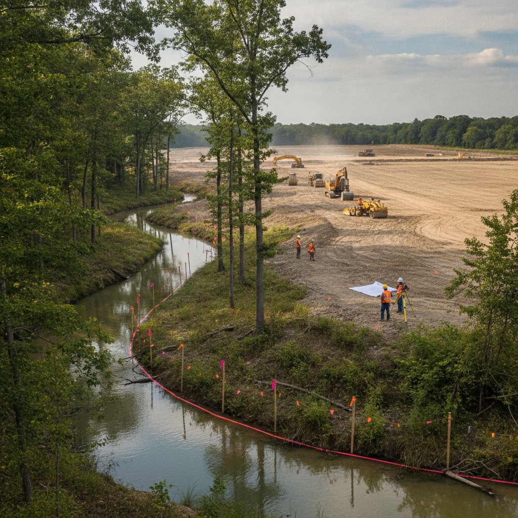
Decoding FEMA Flood Insurance Rate Maps (FIRMs)
The starting point for any floodplain analysis is the Flood Insurance Rate Map (FIRM), published by the Federal Emergency Management Agency (FEMA). These maps are the official documents that delineate areas subject to flooding. For a data center project, correctly interpreting a FIRM panel is the first step in the site development due diligence process. It dictates design constraints, influences project costs, and sets the stage for all subsequent permitting efforts. A Professional Engineer must be able to identify the site’s location relative to various flood zones, the Base Flood Elevation (BFE), and other critical features like regulatory floodways. Misinterpreting this data can lead to significant redesigns and costly delays during the agency review process. Modern FIRMs are accessible through FEMA’s Map Service Center and are typically integrated into GIS software used by Civil Engineering Firms. The analysis involves more than just looking at a line on a map; it requires understanding the underlying Flood Insurance Study (FIS) report, which contains detailed hydraulic data, flood profiles, and the methodology used to create the maps. This deeper dive is crucial for understanding the true nature of the flood risk and for developing a robust stormwater management strategy that complies with both local and federal regulations.
Understanding Flood Zones: AE, X, and the Regulatory Floodway
Floodplain Mitigation and Development Implications
| Flood Zone Designation | Key Development Restriction | Primary Engineering Requirement | Typical Data Center Strategy |
|---|---|---|---|
| Zone X (Unshaded) | Minimal flood risk; no federal flood insurance or construction requirements. | Standard drainage design and local code compliance. | Most desirable zone; site selection priority. |
| Zone X (Shaded) | Moderate risk (0.2% annual chance flood). BFE not determined. | Local ordinances may require elevated FFE. Prudent to add freeboard. | Acceptable, but requires enhanced due diligence and potential voluntary elevation. |
| Zone AE (Flood Fringe) | 1% annual chance flood. BFE is determined. Development is allowed. | FFE must be elevated above BFE (plus freeboard). Compensatory storage required for any fill. | Feasible with careful site engineering services. FFE set with significant freeboard (e.g., BFE + 3ft). |
| Zone AE (Regulatory Floodway) | Most restrictive. Preserved for flood conveyance. Encroachment is highly regulated. | No-rise certification required, proving no impact on BFE. Often requires complex hydraulic modeling. | Avoid at all costs. Site layout is designed to keep all structures and fill out of the floodway. |
| Zone A | 1% annual chance flood, but no BFE determined. | Requires a detailed engineering study to establish a BFE before development can be permitted. | High-risk and high-cost for due diligence. Generally avoided unless no other options exist. |
FEMA maps use specific codes to classify flood risk, and these designations have profound implications for development. The most common zones encountered in land development are Zone X, Zone AE, and the Regulatory Floodway. Zone X areas are considered to be at minimal or moderate flood risk, making them the most desirable for development. However, large, flat sites suitable for data centers often intersect with more restrictive zones. Zone AE is the Special Flood Hazard Area (SFHA), where properties have a 1% annual chance of flooding. For these areas, a Base Flood Elevation (BFE) has been determined, which is the computed elevation to which floodwater is anticipated to rise during the base flood. The most restrictive area is the Regulatory Floodway, which is the channel of a river or other watercourse and the adjacent land areas that must be reserved in order to discharge the base flood without cumulatively increasing the water surface elevation more than a designated height. Development within the floodway is severely restricted and often prohibited, as any encroachment can increase flood heights upstream. Differentiating between the floodway and the “flood fringe” (the portion of the Zone AE outside the floodway) is a critical task for the civil engineering team, as it dictates whether a no-rise certification is achievable.
Establishing Base Flood Elevation (BFE) and Freeboard Requirements
The Base Flood Elevation (BFE) is the cornerstone of floodplain design. It is the regulatory standard against which all vertical site elements are measured. For a data center, the single most important design decision is setting the Finished Floor Elevation (FFE) of the main building and the elevation of critical equipment pads. Local and state regulations, including the Local Building Code, almost always require the FFE to be set above the BFE by a certain margin, known as “freeboard.” For standard commercial buildings, this might be one or two feet. However, for mission-critical facilities, standard freeboard is often insufficient. Data center owners and operators frequently mandate enhanced freeboard—three, four, or even five feet above the BFE—to provide an additional factor of safety against future climate conditions, map inaccuracies, or extreme storm events beyond the 100-year flood. This conservative approach also extends to all critical infrastructure, including generator pads, fuel tanks, and primary utility connection points. The civil engineering design must ensure that not only the building is protected, but that all supporting systems required for continuous operation remain high and dry.
The Critical Path: Achieving a No-Rise Certification
When development is proposed within a designated Regulatory Floodway, the developer must demonstrate that the project will not cause any increase in the BFE upstream or downstream. This demonstration is formalized through a no-rise certification, a complex engineering analysis that requires detailed hydraulic modeling. Using software like HEC-RAS, engineers create a model of the existing floodplain and then add the proposed development (e.g., building footprint, grading, fill) to a duplicate model to simulate post-development conditions. The results must show a 0.00-foot rise in the water surface elevation. Achieving a no-rise condition is challenging. It often requires creative site plan design, such as elevating structures on piers or implementing significant grading changes outside the floodway. The analysis must be certified by a registered Professional Engineer and is subject to intense scrutiny by the local floodplain administrator and sometimes state agencies. Because of the difficulty and risk associated with floodway development, most data center projects will seek to avoid the floodway entirely, even if it means a less efficient site layout. The permitting pathway for a project with a no-rise certification is significantly more complex than one located entirely outside the floodway.
Designing and Permitting Compensatory Storage
When a project places fill material within the Special Flood Hazard Area (SFHA) but outside the floodway, it displaces volume that was previously available to store floodwaters. To mitigate this impact, local and state regulations require the creation of compensatory storage. This involves excavating an equivalent volume of material from the floodplain, typically on the same property, to ensure the flood storage capacity of the watershed is not reduced. The goal is a “net-zero” impact on flood storage. The design of compensatory storage must be carefully integrated with the overall drainage design and stormwater management system. The excavated area must be hydraulically connected to the floodplain and available to receive floodwaters. The engineering calculations must be precise, demonstrating a 1:1 or sometimes greater (e.g., 1.5:1) volume replacement, depending on local ordinances. The location and grading of the compensatory storage area are critical components of the permit submittals to agencies like the Water Management Districts. This process requires detailed topographic surveys, earthwork calculations, and a clear plan for long-term maintenance.
Navigating Floodplain Mapping Revisions: LOMR and CLOMR
In some cases, the official FEMA maps may be inaccurate or outdated. If a developer has more detailed topographic data or engineering analysis showing the flood risk is less than what is depicted on the FIRM, they can apply for a map revision. A Conditional Letter of Map Revision (CLOMR) is a statement from FEMA that a proposed project, if built as planned, would be eligible for a formal map change. This is often pursued before construction begins to gain regulatory certainty. After the project is complete and certified, a Letter of Map Revision (LOMR) is submitted to officially remove a structure or property from the SFHA. The CLOMR/LOMR process is a significant undertaking. It requires extensive hydraulic and hydrologic modeling, public notices, and a formal application to FEMA with substantial supporting documentation. The timeline can be lengthy, often taking 12 months or more for review and approval. For a data center, a successful LOMR can provide immense value by reducing flood insurance requirements and improving the property’s risk profile. This process demands expert civil engineering guidance and close utility coordination to ensure all as-built conditions match the approved plans.
RSP Engineers’ Approach to Floodplain Diligence
At RSP Engineers, our process begins with comprehensive due diligence. We utilize the latest GIS data, FEMA documentation, and local regulatory requirements to build a complete picture of a site’s floodplain risk. Our approach includes: Initial Feasibility Study: We conduct a high-level review of FIRMs, local floodplain ordinances, and preliminary site plans to identify potential red flags and opportunities before significant capital is invested. Detailed Hydraulic Modeling: For complex sites involving floodways or significant fill, we develop detailed HEC-RAS models to simulate existing and proposed conditions, forming the basis for a no-rise certification or compensatory storage design. Integrated Site Design: Our site development team works collaboratively to integrate floodplain mitigation strategies with the overall stormwater management system, grading plans, and utility layouts, ensuring a cohesive and efficient design. Agency Permitting and Coordination: We manage the entire permitting process, from pre-application meetings with local floodplain administrators to formal submittals to FEMA for LOMR applications, ensuring clear communication and timely responses to agency comments.
Common Issues in Data Center Floodplain Permitting
Even with careful planning, challenges can arise. A common issue is discovering that the effective FEMA model for a stream used outdated topographic data, requiring a new survey and potentially a complex modeling effort to correct. Another frequent problem is balancing the need for large, flat building pads with the requirement for compensatory storage, which can consume valuable land area. Finally, coordinating the floodplain permit with other critical permits, such as those for environmental impacts or utility coordination, can create timeline dependencies that must be managed proactively to avoid delaying the project schedule.
Your Partner in Mission-Critical Site Development
Navigating the complexities of floodplain analysis and permitting requires specialized expertise and a proactive approach. The stakes are too high for mission-critical facilities to leave anything to chance. The team at RSP Engineers provides the expert civil engineering, hydraulic modeling, and permitting support needed to de-risk your data center project. From initial due diligence and site plan design to securing a LOMR, we help you build with confidence. Contact us today to discuss your project’s unique challenges and how our site engineering services can ensure a resilient and compliant development.
Conclusion
A successful data center development hinges on a foundation of thorough engineering and risk mitigation. Floodplain analysis is not merely a box to check during permitting; it is a fundamental aspect of site viability and long-term asset protection. By understanding FEMA regulations, conducting detailed hydraulic analysis, and strategically designing for resilience with adequate freeboard and compensatory storage, developers can safeguard their investment. Partnering with an experienced civil engineering firm is the most effective way to navigate these challenges and deliver a project that is secure, compliant, and built to last.
FAQs
-
Freeboard is the vertical distance added to the Base Flood Elevation (BFE) to determine the minimum required elevation of a structure. For a data center, which has zero tolerance for water intrusion, specifying a generous freeboard (e. g. , 3 feet or more above BFE) for the Finished Floor Elevation (FFE) is a critical risk mitigation measure against extreme floods and future climate uncertainties.
-
While technically possible with a no-rise certification, it is extremely difficult and strongly discouraged. Proving that a large facility causes zero rise in flood levels requires complex hydraulic modeling and often impractical design solutions. The vast majority of successful data center projects are sited entirely outside the regulatory floodway to avoid this significant permitting and construction risk.
-
The LOMR process is lengthy. After submitting a complete application with all required engineering models and documentation, FEMA’s review and processing time can range from 6 to 18 months. This timeline must be factored into the overall project schedule, as financing and insurance can be contingent on the outcome.