
Future-Proofing Florida: Key Trends Shaping Land Development and Civil Engineering
Explore the future of Florida land development. Our experts cover sustainable design, smart city tech, advanced stormwater management, and evolving zoning regulations.
Sustainable and Resilient Design Integration
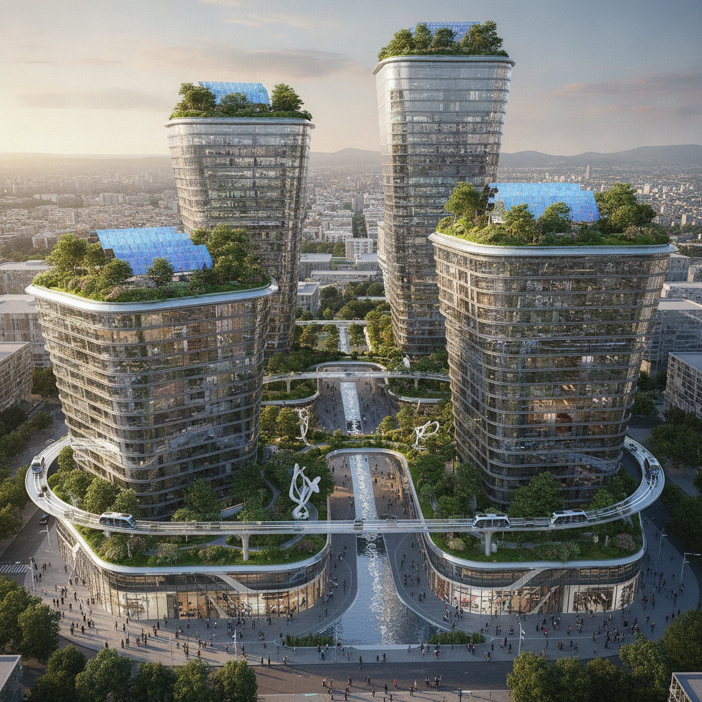
Modern development is increasingly measured by its environmental footprint and its ability to withstand Florida’s unique climate challenges. The focus has shifted from mere compliance to proactive resilient design. This involves integrating Low Impact Development (LID) principles, which treat stormwater as a resource rather than a waste product. Techniques like bioretention swales, green roofs, and preserving natural vegetation are becoming standard practice, not just optional enhancements. These elements are critical for effective stormwater management and reducing the strain on municipal infrastructure. Furthermore, designing for resilience means accounting for factors like sea-level rise, increased rainfall intensity, and higher storm surge potentials. A Professional Engineer must now incorporate forward-looking climate data into site grading, building elevations, and infrastructure planning. This includes adhering to updated FEMA regulations and often exceeding minimum requirements to ensure long-term project viability and insurability. This proactive stance is essential for securing project approvals and attracting investment in coastal and flood-prone areas across Florida.
The Rise of Smart Cities and Digital Twinning
Comparison of Stormwater Management Approaches
| Feature | Traditional Approach | Future-Forward (LID) Approach |
|---|---|---|
| Runoff Management | Collect and convey runoff quickly to a large, centralized pond (detention/retention). | Manage rainfall where it lands using decentralized, small-scale controls (bioretention, permeable pavement). |
| Water Quality Treatment | Relies primarily on settling of suspended solids within a wet detention pond. | Uses natural processes like filtration, infiltration, and biological uptake to remove pollutants. |
| Land Use Efficiency | Requires significant land area for large, open ponds, reducing developable acreage. | Integrates stormwater features into landscaping and hardscapes, preserving valuable land. |
| Aesthetic & Amenity Value | Ponds can be stagnant and require extensive fencing, offering limited amenity value. | Features like rain gardens and green roofs can be designed as attractive site amenities. |
| Regulatory Perception | Meets baseline code requirements but is viewed as a minimum standard. | Often preferred by regulators for superior environmental performance and may expedite permitting. |
| Long-Term Maintenance | Requires periodic dredging of sediment and control of invasive vegetation. | Requires regular landscape maintenance (weeding, mulch replacement) but avoids heavy dredging. |
Technology is revolutionizing how projects are planned, designed, and managed. The concept of the “smart city” is filtering down to the individual development level, with an emphasis on integrated technology and data. For Civil Engineers, this means leveraging tools far beyond traditional CAD. Building Information Modeling (BIM) is now used for infrastructure, allowing for sophisticated utility coordination and clash detection in a 3D environment before a single shovel breaks ground. Drone-based surveying (photogrammetry and LiDAR) provides highly accurate topographical data, accelerating the initial design phases. The most advanced trend is the creation of “digital twins”—virtual replicas of a physical site or system. A digital twin can model everything from traffic flow and pedestrian movement to the performance of a stormwater management system under various storm scenarios. This allows designers and stakeholders to test and optimize the site plan design in a virtual environment, reducing risk, improving efficiency, and providing a powerful tool for long-term asset management after construction is complete. This data-centric approach is becoming a key differentiator for leading Civil Engineering Firms.
Regulatory Shifts Toward Water Quality and Conservation
Florida’s regulatory agencies, including the Water Management Districts and the FDEP, are placing unprecedented emphasis on water quality protection. New and upcoming regulations are targeting nutrient pollution, particularly nitrogen and phosphorus, which contribute to harmful algal blooms. This has direct implications for land development, as projects must now demonstrate more sophisticated methods for treating stormwater runoff. The era of simply detaining water for flood control is over; the focus is now on treatment and nutrient load reduction through advanced drainage design. Developers must now navigate complex requirements related to Total Maximum Daily Loads (TMDLs) and Basin Management Action Plans (BMAPs). This often requires the integration of advanced Best Management Practices (BMPs) and innovative treatment trains within the site’s stormwater management system. Furthermore, there is a growing push for water conservation and reuse. Incorporating systems for reclaimed water irrigation and rainwater harvesting is not only environmentally responsible but is also becoming a critical component for securing environmental resource permitting (ERP) in water-scarce regions.
Advanced Stormwater Management Techniques
Conventional retention and detention ponds are no longer the only tools in the engineer’s toolkit. To meet stricter water quality standards and accommodate denser development, advanced stormwater management techniques are becoming essential. Permeable pavement systems for parking lots and low-traffic areas allow rainwater to infiltrate into the ground, reducing runoff volume and filtering pollutants. Bioretention cells, or rain gardens, use engineered soils and vegetation to naturally treat water before it enters the groundwater or municipal system. Where land is at a premium, such as in urban infill projects, underground detention and retention systems are a game-changer. These modular systems, often installed beneath parking lots, free up valuable surface area for development while meeting storage volume requirements. The sophistication of hydrologic modeling has also increased, with software now able to simulate the performance of these complex, integrated systems. A knowledgeable drainage engineer near me can help select the most cost-effective and compliant solution for a specific site’s constraints.
Zoning and Land Use Evolution: Mixed-Use and Infill Development
Urban sprawl is giving way to a preference for denser, walkable, and mixed-use communities. Municipalities across Florida are updating their comprehensive plans and zoning codes to encourage infill development and the adaptive reuse of underutilized properties. This trend presents unique challenges and opportunities. Redevelopment projects often involve navigating complex site constraints, existing utility conflicts, and the need for meticulous zoning compliance, sometimes requiring variances or special exceptions. These projects demand a holistic approach to site development. Engineers must seamlessly integrate pedestrian connectivity, shared parking solutions, and public spaces while ensuring full ADA compliance. The permitting process for a mixed-use project is often more complex than for a single-use development, involving multiple agency reviews and public hearings. Success requires a design team that understands how to negotiate land use amendments and demonstrate that the project provides a net benefit to the community, aligning with modern urban planning principles.
Data-Driven Site Selection and Feasibility Analysis
Before committing significant capital, savvy developers are leveraging data to de-risk their investments. The site selection process is now supported by powerful GIS platforms and data analytics that can evaluate demographic trends, traffic patterns, environmental constraints, and utility availability. This initial due diligence is more critical than ever. A thorough upfront analysis can identify fatal flaws before the design process even begins, saving immense time and resources. A crucial component of this is early-stage Geotechnical Engineering. Understanding the subsurface conditions through a comprehensive geotechnical investigation is fundamental to determining foundation design, earthwork costs, and potential site challenges like muck or a high water table. The Geotechnical soil report informs the entire site plan design, from the layout of buildings to the location of stormwater ponds. This data-driven approach to feasibility studies provides a clear, realistic picture of a project’s potential, allowing developers to make informed decisions with confidence.
Our Process: Navigating the Future of Development
At RSP Engineers, we embrace these trends by integrating a forward-thinking, technology-driven process into every project. Our approach begins with a comprehensive feasibility study that leverages GIS data and preliminary engineering analysis to identify opportunities and constraints. We utilize advanced tools like BIM for seamless utility coordination and sophisticated software for hydrologic and hydraulic modeling. Our team of Florida Licensed Engineers stays ahead of the curve on regulatory changes, ensuring your permit submittals are positioned for approval. By focusing on sustainable and resilient design from day one, we help clients create projects that are not only profitable but also valuable community assets. From initial concept through final Construction Management Services, we are your strategic partner.
Common Issues and Challenges in Modern Development
Embracing future trends is not without its hurdles. One of the most common issues is navigating regulatory frameworks that may not have caught up with innovative technologies. For example, securing approval for a novel bio-filtration system may require additional documentation and justification compared to a standard pond. Another challenge is the perceived higher upfront cost of sustainable infrastructure, although these costs are often offset by long-term savings in maintenance and increased property value. Finally, infill and redevelopment projects frequently encounter unforeseen conditions, such as undocumented utilities or contaminated soils, which require agile problem-solving and close collaboration between the developer, engineer, and contractor to keep the project on track.
Your Partner for Forward-Thinking Development
Navigating the future of land development in Florida requires more than just a set of plans; it requires a strategic partner who understands the intersection of technology, regulation, and resilient design. The team at RSP Engineers is dedicated to providing the expert guidance you need. Whether you are planning a complex mixed-use project or a sustainable residential community, we offer comprehensive site engineering services, from initial feasibility studies and permitting to final construction oversight. Let us help you future-proof your investment with intelligent and effective civil engineering solutions.
Conclusion
The defining trends in land development—sustainability, technology, and regulatory evolution—are not fleeting fads; they are the new foundation of successful projects in Florida. By embracing advanced stormwater management, data-driven design, and resilient building practices, developers can create projects that are more valuable, approvable, and durable. Staying ahead of these changes requires a proactive and knowledgeable civil engineering partner. The future of development is here, and it rewards those who plan for it today.
FAQs
-
While some sustainable features like permeable pavement or green roofs may have a higher initial installation cost, they often provide a strong return on investment. These benefits can include reduced long-term maintenance costs, lower utility bills (e.g., for irrigation), and the ability to increase development density by reducing the footprint of traditional stormwater management systems. Additionally, sustainable projects often command higher property values and lease rates.
-
A digital twin is a dynamic, virtual model of your physical development project. It’s more than just a 3D drawing; it’s a data-rich simulation. For land development, it can be used to optimize drainage design by modeling storm events, simulate traffic flow to refine roadway engineering, and manage underground utility coordination. This leads to better design decisions, reduced construction errors, and more efficient long-term operations.
-
Yes, increasingly so. Many municipalities and Water Management Districts in Florida now encourage or even incentivize Low Impact Development (LID) and green infrastructure. They recognize that these techniques provide superior water quality treatment and help reduce the burden on public drainage systems. However, the key is a well-prepared permit submittal that clearly demonstrates compliance with all performance standards through robust engineering calculations and design details.